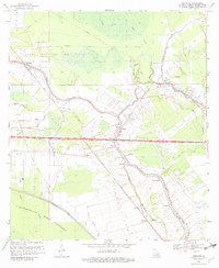
1969 Map of Fordoche
USGS Topo · Published 1982About this map
Bayou Grosse Tete meanders through the heart of this Pointe Coupee Parish landscape, serving as a geographic anchor for the settlements of Livonia, Valverda, and Frogmore. This late 1960s environment is defined by a dense network of water and industry, where the Atchafalaya Basin Floodway and its Protection Levee dominate the southwestern corner. The map documents an era of significant petroleum extraction, evidenced by the extensive Fordoche Oil Field and Grosse Tete Oil Field, crisscrossed by numerous pipelines.
Find a feature on this map
40 named features on this map. Tap any name to fly to it.
Don’t see what you’re looking for? This feature index may not catch every label — zoom into the map to look around manually.
Map Details
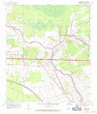
Editions of this 1969 Fordoche Map
2 editions found
Other maps of this area

1906 · Bayou Sara
USGS Topo · 1:125,000

1935 · Osca Bayou
USGS Topo · 1:62,500

1939 · Fordoche
USGS Topo · 1:62,500

1940 · Grosse Tete
USGS Topo · 1:62,500

1953 · Maringouin
USGS Topo · 1:24,000

1953 · New Roads
USGS Topo · 1:24,000

1954 · Fordoche
USGS Topo · 1:24,000

1954 · Erwinville
USGS Topo · 1:24,000

1954 · Grosse Tete
USGS Topo · 1:24,000

1954 · Baton Rouge
USGS Topo · 1:250,000