
1955 Map of Forest Grove
USGS Topo · Published 1956About this map
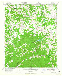
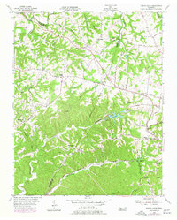
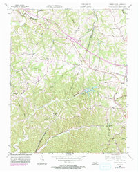
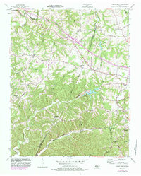
Marrowbone Lake and Lake Louise sit at the heart of this mid-century landscape where Davidson, Cheatham, and Robertson counties converge. The terrain is defined by a dense network of hollows and ridges, including Crocker Hollow and Beech Hollow, which drain into significant waterways like Sycamore Creek and Little Marrowbone Creek. The settlement pattern follows the high ground and the historic path of the Old Clarksville Pike, which cuts across the northern half of the sheet. Rural community life is anchored by numerous local institutions such as Paines Chapel, Oakwood Ch, and the Morny Sch. The presence of the Fish Hatchery near the southern boundary and the Lookout Tower near St Lawrence Sch suggests a managed landscape focused on conservation and monitoring during the post-war era.
Find a feature on this map
44 named features on this map. Tap any name to fly to it.
Don’t see what you’re looking for? This feature index may not catch every label — zoom into the map to look around manually.
Map Details
Editions of this 1955 Forest Grove Map
5 editions found
Other maps of this area

1903 · Nashville
USGS Topo · 1:125,000

1930 · White Bluff
USGS Topo · 1:62,500

1931 · Ridgetop
USGS Topo · 1:62,500

1932 · Nashville
USGS Topo · 1:62,500

1933 · White Bluff
USGS Topo · 1:62,500

1935 · Ridgetop
USGS Topo · 1:62,500

1952 · Nashville West
USGS Topo · 1:24,000

1955 · Whites Creek
USGS Topo · 1:24,000

1955 · Scottsboro
USGS Topo · 1:24,000

1956 · Nashville
USGS Topo · 1:250,000