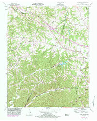
1955 Map of Forest Grove
USGS Topo · Published 1983About this map
The boundary between Robertson Co and Nashville-Davidson Co cuts through this mid-century landscape of ridges and hollows northwest of Nashville. Small communities and rural gathering places like Forest Grove and Joelton anchor the local geography, connected by historic routes such as Old Clarksville Road and Eatons Creek Road. The terrain is defined by the winding paths of Marrowbone Creek and Sycamore Creek, with the impounded waters of Marrowbone Lake and Lake Louise providing central landmarks.
Find a feature on this map
48 named features on this map. Tap any name to fly to it.
Don’t see what you’re looking for? This feature index may not catch every label — zoom into the map to look around manually.
Map Details
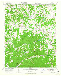
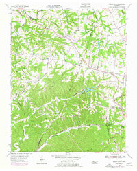
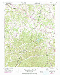
Editions of this 1955 Forest Grove Map
5 editions found
Other maps of this area

1903 · Nashville
USGS Topo · 1:125,000

1930 · White Bluff
USGS Topo · 1:62,500

1931 · Ridgetop
USGS Topo · 1:62,500

1932 · Nashville
USGS Topo · 1:62,500

1933 · White Bluff
USGS Topo · 1:62,500

1935 · Ridgetop
USGS Topo · 1:62,500

1952 · Nashville West
USGS Topo · 1:24,000

1955 · Whites Creek
USGS Topo · 1:24,000

1955 · Forest Grove
USGS Topo · 1:24,000

1955 · Scottsboro
USGS Topo · 1:24,000