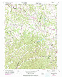
1955 Map of Forest Grove
USGS Topo · Published 1983About this map
Marrowbone Lake and the winding course of Marrowbone Creek anchor this mid-century topographic record of the borderlands between Cheatham and Davidson counties. The landscape is defined by its rural density, where the ridge and valley topography dictates a network of small churches and local schools. Settlements like Forest Grove and Joelton serve as regional hubs, connected by historic transit corridors such as the Old Clarksville Pike and Eatons Creek Road.
Find a feature on this map
51 named features on this map. Tap any name to fly to it.
Don’t see what you’re looking for? This feature index may not catch every label — zoom into the map to look around manually.
Map Details
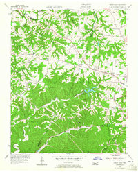
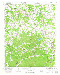
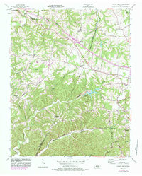
Editions of this 1955 Forest Grove Map
5 editions found
Other maps of this area

1903 · Nashville
USGS Topo · 1:125,000

1930 · White Bluff
USGS Topo · 1:62,500

1931 · Ridgetop
USGS Topo · 1:62,500

1932 · Nashville
USGS Topo · 1:62,500

1933 · White Bluff
USGS Topo · 1:62,500

1935 · Ridgetop
USGS Topo · 1:62,500

1952 · Nashville West
USGS Topo · 1:24,000

1955 · Whites Creek
USGS Topo · 1:24,000

1955 · Forest Grove
USGS Topo · 1:24,000

1955 · Scottsboro
USGS Topo · 1:24,000