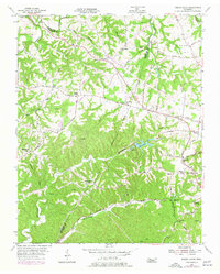
1955 Map of Forest Grove
USGS Topo · Published 1977About this map
Good Spring Ch and Paines Chapel anchor the northern landscape of this region where the borders of Robertson, Cheatham, and Davidson counties converge. The terrain is defined by the deep incisions of Marrowbone Creek and the North Fork, which carve through the plateau toward the Cumberland River watershed. By the mid-1950s, the rural character of the area was beginning to shift, evident in the under construction segments of major roads and the prominent pipeline corridor crossing the ridges near Pinnacle. Local social life is mapped through an exceptionally high density of country churches and schools, including New Hope Ch, St Lawrence Sch, and the Oakwood Ch. The transition to a more modern infrastructure is visible in the 1970s updates, which show the emergence of Hickory Boulevard and the expansion of residential footprints near Joelton.
Find a feature on this map
51 named features on this map. Tap any name to fly to it.
Don’t see what you’re looking for? This feature index may not catch every label — zoom into the map to look around manually.
Map Details
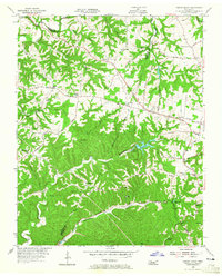
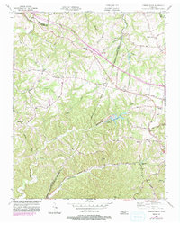
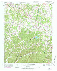
Editions of this 1955 Forest Grove Map
5 editions found
Other maps of this area

1903 · Nashville
USGS Topo · 1:125,000

1930 · White Bluff
USGS Topo · 1:62,500

1931 · Ridgetop
USGS Topo · 1:62,500

1932 · Nashville
USGS Topo · 1:62,500

1933 · White Bluff
USGS Topo · 1:62,500

1935 · Ridgetop
USGS Topo · 1:62,500

1952 · Nashville West
USGS Topo · 1:24,000

1955 · Whites Creek
USGS Topo · 1:24,000

1955 · Forest Grove
USGS Topo · 1:24,000

1955 · Scottsboro
USGS Topo · 1:24,000