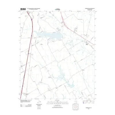
2012 Map of Forreston
USGS Topo · Published 2012About this map
Lake Waxahachie and the surrounding drainage of Waxahachie Cr anchor this central Texas landscape, where the modern developments of south Waxahachie meet established rural communities. This survey documents the area's transition into a regional transportation hub, defined by the heavy corridor of Interstate Highway 35 and several regional airports like Haven Field Airport and George P Shanks Airport.
Find a feature on this map
84 named features on this map. Tap any name to fly to it.
Don’t see what you’re looking for? This feature index may not catch every label — zoom into the map to look around manually.
Map Details
Editions of this 2012 Forreston Map
This is the sole edition of this map. No revisions or reprints were ever made.
Other maps of this area

1954 · Dallas
USGS Topo · 1:250,000

1956 · Ennis
USGS Topo · 1:62,500

1958 · Dallas
USGS Topo · 1:250,000

1960 · Boz
USGS Topo · 1:24,000

1961 · Forreston
USGS Topo · 1:24,000
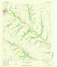
1961 · Midlothian
USGS Topo · 1:24,000
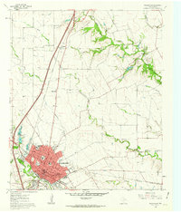
1961 · Waxahachie
USGS Topo · 1:24,000

1962 · Ennis West
USGS Topo · 1:24,000

1962 · Cryer Creek
USGS Topo · 1:24,000
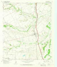
1963 · Palmer
USGS Topo · 1:24,000