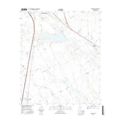
2016 Map of Forreston
USGS Topo · Published 2016About this map
Lake Waxahachie serves as the central focal point of this Ellis County landscape, with residential developments like Laguna Vista Rd and Lakeshore Dr lining its northern banks. The surrounding terrain is defined by the drainage networks of Waxahachie Cr, Little Onion Cr, and Mustang Cr, which slice through the prairie south of the Waxahachie city limits. This era of the mid-2010s shows a mix of established rural crossroads and modern aviation infrastructure, notably the George P Shanks Airport situated west of Nena.
Find a feature on this map
69 named features on this map. Tap any name to fly to it.
Don’t see what you’re looking for? This feature index may not catch every label — zoom into the map to look around manually.
Map Details
Editions of this 2016 Forreston Map
This is the sole edition of this map. No revisions or reprints were ever made.
Other maps of this area

1954 · Dallas
USGS Topo · 1:250,000

1956 · Ennis
USGS Topo · 1:62,500

1958 · Dallas
USGS Topo · 1:250,000

1960 · Boz
USGS Topo · 1:24,000

1961 · Forreston
USGS Topo · 1:24,000
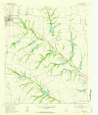
1961 · Midlothian
USGS Topo · 1:24,000
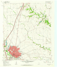
1961 · Waxahachie
USGS Topo · 1:24,000

1962 · Ennis West
USGS Topo · 1:24,000

1962 · Cryer Creek
USGS Topo · 1:24,000
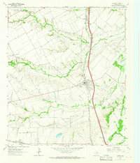
1963 · Palmer
USGS Topo · 1:24,000