
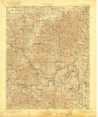
1907 Map of Forsyth
USGS Topo · Published 1907About this map
The James River and White River carve through this Ozark landscape, dictating the early 20th-century transportation network before modern bridges. River crossings were essential to local commerce, evidenced by numerous cable ferries including Hensley Ferry, Coombs Ferry, and Blackwells Ferry. These water routes connected isolated hill settlements such as Ponce de Leon and Branson.
Find a feature on this map
158 named features on this map. Tap any name to fly to it.
Don’t see what you’re looking for? This feature index may not catch every label — zoom into the map to look around manually.
Map Details
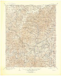
Editions of this 1907 Forsyth Map
3 editions found
Other maps of this area

1884 · Springfield
USGS Topo · 1:125,000

1886 · Greenfield
USGS Topo · 1:125,000

1886 · Springfield
USGS Topo · 1:125,000

1888 · Greenfield
USGS Topo · 1:125,000

1893 · Yellville
USGS Topo · 1:125,000

1900 · Eureka Springs
USGS Topo · 1:125,000

1901 · Eureka Springs
USGS Topo · 1:125,000

1903 · Yellville
USGS Topo · 1:125,000

1904 · Harrison
USGS Topo · 1:125,000

1905 · Harrison
USGS Topo · 1:125,000