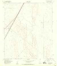
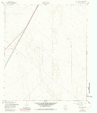
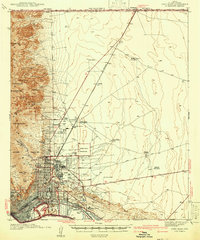
1955 Map of Fort Bliss NE
USGS Topo · Published 1959About this map
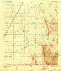
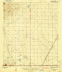
The Fort Bliss Military Reservation dominates this 1950s landscape in El Paso County, revealing the critical infrastructure supporting defense and transit in the Texas desert. The high-desert terrain is marked by essential utility corridors, including a prominent Telephone line and a large Pipeline that traverse the region. Transportation and communication are central themes of the sheet, anchored by the Southern Pacific railroad and the neighboring Highway 54. A noteworthy localized landmark is the Newman Radio Beacon Towers, situated near the Approximate Boundary of the reservation. Smaller installations like Water Towers and various Well sites underscore the logistical efforts required to maintain operations and life in this arid environment during the mid-twentieth century.
Find a feature on this map
11 named features on this map. Tap any name to fly to it.
Don’t see what you’re looking for? This feature index may not catch every label — zoom into the map to look around manually.
Map Details
Editions of this 1955 Fort Bliss NE Map
2 editions found
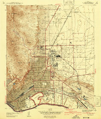
Other maps of this area

1896 · El Paso
USGS Topo · 1:125,000

1908 · El Paso
USGS Topo · 1:125,000

1939 · Heuco Tanks
USGS Topo · 1:62,500

1940 · Heuco Tanks
USGS Topo · 1:62,500

1940 · Newman
USGS Topo · 1:62,500
1941 · El Paso
USGS Topo · 1:31,680
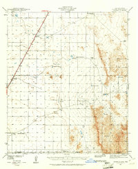
1941 · Desert
USGS Topo · 1:62,500
1942 · Fort Bliss
USGS Topo · 1:62,500
1943 · Desert
USGS Topo · 1:62,500
1943 · Newman
USGS Topo · 1:62,500