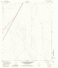
1955 Map of Fort Bliss NE
USGS Topo · Published 1981About this map
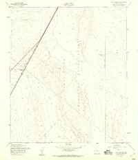
Fort Bliss Military Reservation dominates this desert landscape north of El Paso, recorded during a mid-century period of military expansion and strategic transit. The eastern corridor of the map is defined by the heavy infrastructure of the Southern Pacific railroad, which runs parallel to a series of utilities including a prominent Pipeline. This transportation spine is punctuated by navigational and support landmarks, such as the Newman Radio Beacon and multiple Water Towers, which served both the railroad and the military installation. The terrain is characterized by sparse desert vegetation and a network of fences, highlighting the logistical importance of this borderland region where military jurisdiction meets industrial rail lines. The presence of several Wells and unnamed Water sources reveals the critical nature of resource management in this arid stretch of the Texas-New Mexico border region.
Find a feature on this map
10 named features on this map. Tap any name to fly to it.
Don’t see what you’re looking for? This feature index may not catch every label — zoom into the map to look around manually.
Map Details
Editions of this 1955 Fort Bliss NE Map
2 editions found
Other maps of this area

1896 · El Paso
USGS Topo · 1:125,000

1908 · El Paso
USGS Topo · 1:125,000

1939 · Heuco Tanks
USGS Topo · 1:62,500

1940 · Heuco Tanks
USGS Topo · 1:62,500

1940 · Newman
USGS Topo · 1:62,500

1941 · El Paso
USGS Topo · 1:31,680

1941 · Desert
USGS Topo · 1:62,500

1942 · Fort Bliss
USGS Topo · 1:62,500

1943 · Desert
USGS Topo · 1:62,500

1943 · Newman
USGS Topo · 1:62,500