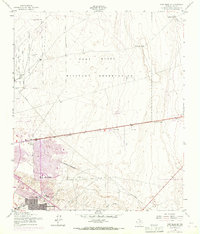
1955 Map of Fort Bliss SE
USGS Topo · Published 1968About this map
Fort Bliss Military Reservation dominates the landscape of this mid-century survey, illustrating the significant military footprint on the outskirts of El Paso. The map captures a transitional moment for the city, with a purple tint indicating the 1967 extension of urban areas into neighborhoods like Del Norte Heights and Hacienda Heights. This expansion pushes against the fixed boundaries of Biggs Air Force Base, where structures like Bakers Well and various towers stand amidst the arid terrain. To the east, the desert remains largely open, marked only by essential water sources like McElroy Well and Hells Hole Well, and the natural drainage of Jesuit Draw. Infrastructure such as a Pipeline Telephone line and an Aqueduct trace the desert floor, reflecting the engineering required to support a growing population and a massive military installation in the Chihuahuan Desert.
Find a feature on this map
23 named features on this map. Tap any name to fly to it.
Don’t see what you’re looking for? This feature index may not catch every label — zoom into the map to look around manually.
Map Details
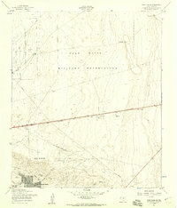
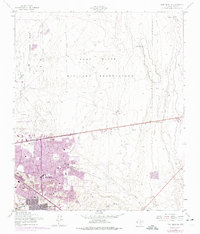
Editions of this 1955 Fort Bliss SE Map
3 editions found
Other maps of this area

1896 · El Paso
USGS Topo · 1:125,000

1908 · El Paso
USGS Topo · 1:125,000

1939 · Ysleta
USGS Topo · 1:62,500

1939 · Heuco Tanks
USGS Topo · 1:62,500

1940 · Heuco Tanks
USGS Topo · 1:62,500

1941 · El Paso
USGS Topo · 1:31,680

1941 · Clint
USGS Topo · 1:62,500

1941 · Ysleta
USGS Topo · 1:62,500

1942 · Fort Bliss
USGS Topo · 1:62,500

1943 · El Paso
USGS Topo · 1:31,680
Featured Places
- El Paso, TX
- Turf Estates Number 1 Colonia, TX
- Las Palmas Number 2 Colonia, El Paso
- Las Palmas Colonia, El Paso
- Del Norte Heights, El Paso