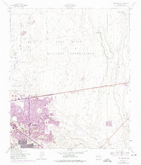
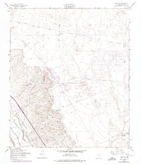
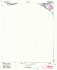
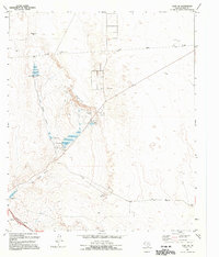
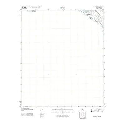
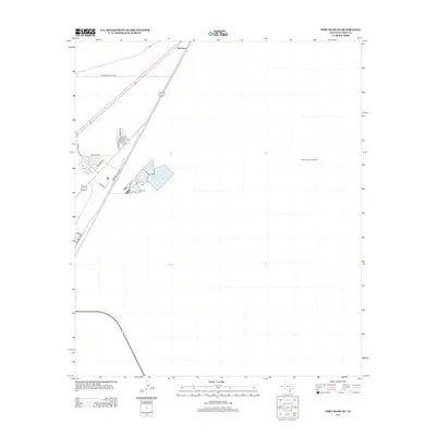
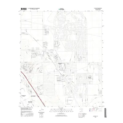
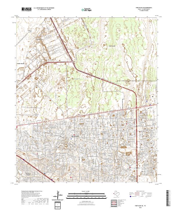
1955 Map of Fort Bliss SE
USGS Topo · Published 1974About this map
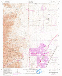
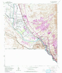
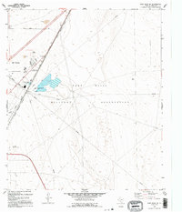
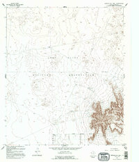
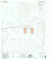
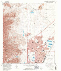
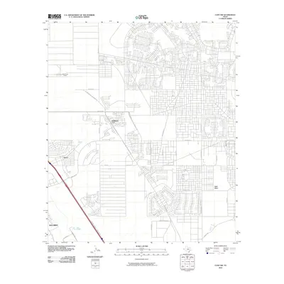
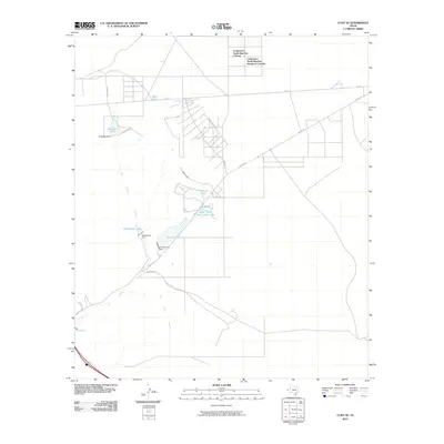
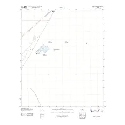
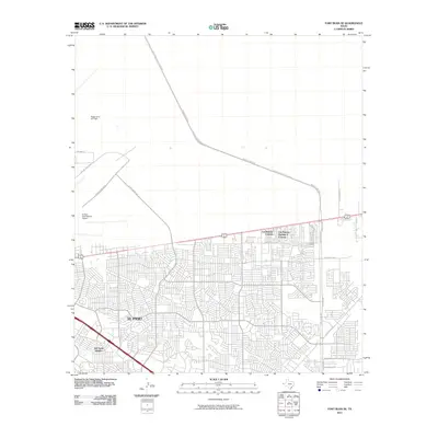
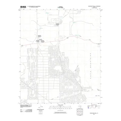
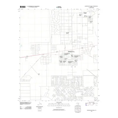
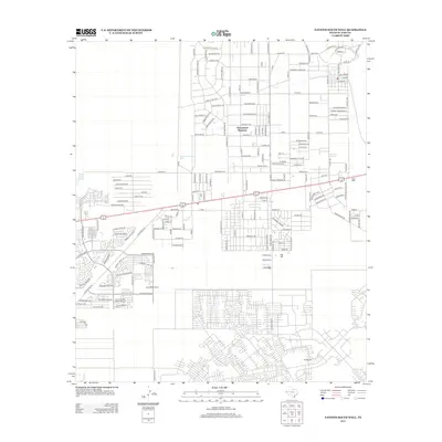
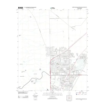
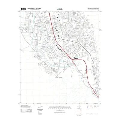
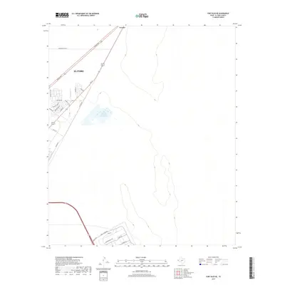
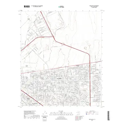
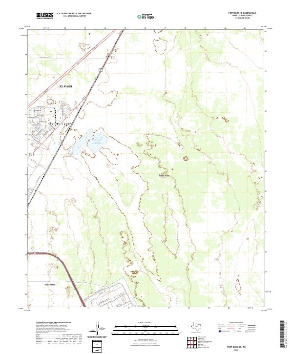
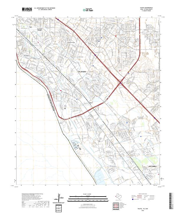
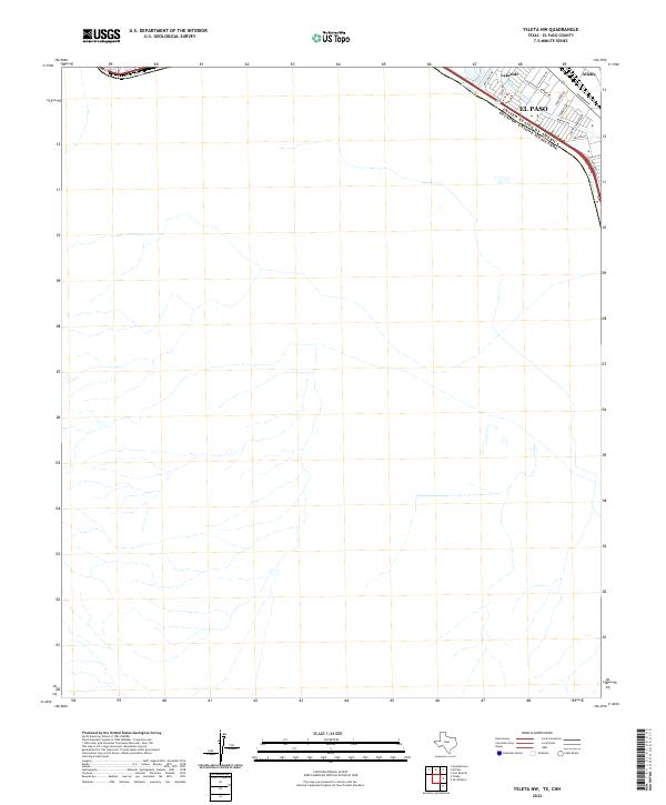
Fort Bliss Military Reservation dominates the northern landscape of this survey, transitioning into the expanding suburban and industrial corridors of El Paso to the south. The map documents a critical period of Cold War era growth, where the massive infrastructure of Biggs Air Force Base and the El Paso International Airport meet rising residential developments. Residential enclaves like Del Norte Heights and Hacienda Heights are shown in detail, many highlighted by purple photorevisions that track the rapid urbanization of the mid-1960s and early 1970s.
Find a feature on this map
21 named features on this map. Tap any name to fly to it.
Don’t see what you’re looking for? This feature index may not catch every label — zoom into the map to look around manually.
Map Details
Editions of this 1955 Fort Bliss SE Map
3 editions found
Historical Maps of El Paso Through Time
107 maps found
1896 Rio Grande
El Paso County, TX

1939 Heuco Tanks
El Paso County, TX

1940 Heuco Tanks
El Paso County, TX

1944 Heuco Tanks
El Paso County, TX
1948 Fort Bliss NE
El Paso County, TX

1948 Fort Bliss SE
El Paso County, TX
1948 Helms West Well
El Paso County, TX
1948 Heuco Tanks
El Paso County, TX
1955 Clint NE
El Paso County, TX
1955 Clint NW
El Paso County, TX
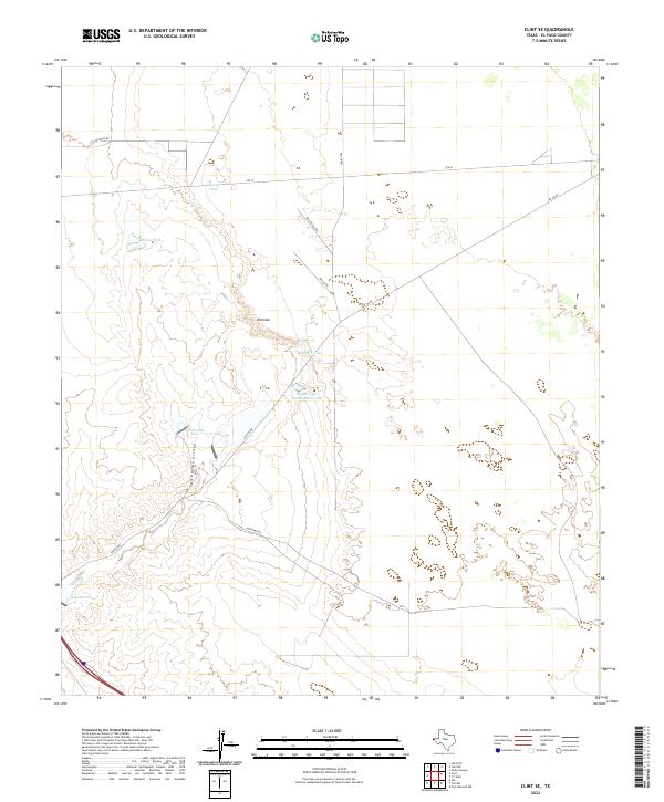
1955 Clint SE
El Paso County, TX
1955 Fort Bliss NE
El Paso County, TX
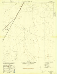
1955 Fort Bliss SE
El Paso County, TX
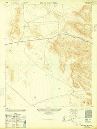
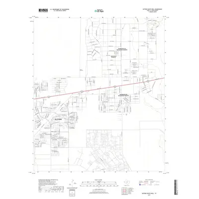
1955 Helms West Well
El Paso County, TX
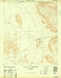
1955 Heuco Tanks
El Paso County, TX
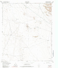
1955 Nations East Well
El Paso County, TX
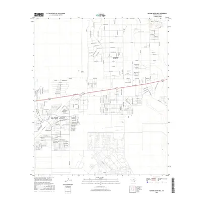
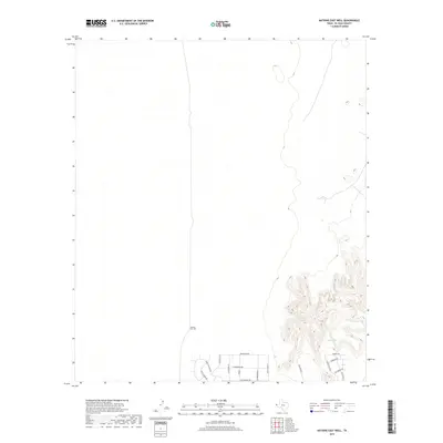
1955 Nations South Well
El Paso County, TX
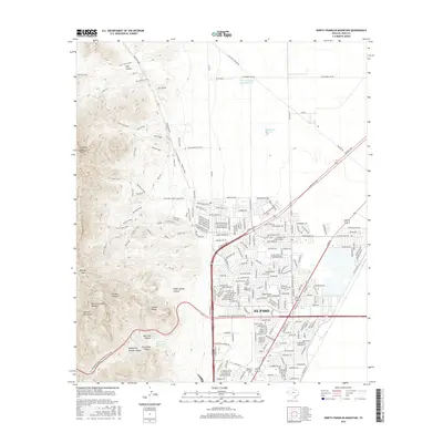
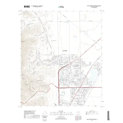
1955 North Franklin Mountain
El Paso County, TX
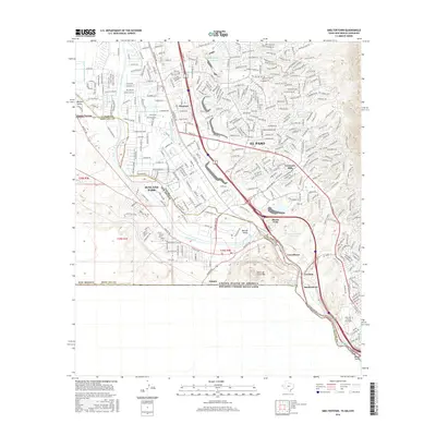
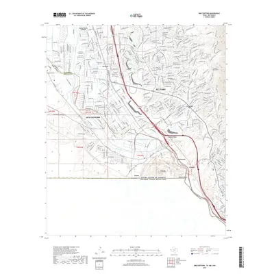
1955 Smeltertown
El Paso County, TX
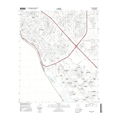
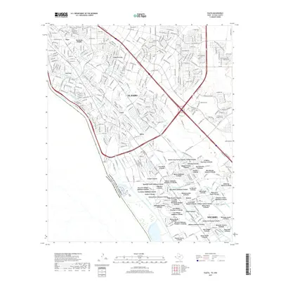
1955 Ysleta
El Paso County, TX
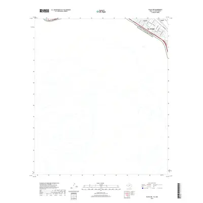
1955 Ysleta NW
El Paso County, TX
1972 Isla
El Paso County, TX
1990 Ysleta NW
El Paso County, TX
1994 Fort Bliss SE
El Paso County, TX

1994 Smeltertown
El Paso County, TX

1994 Ysleta
El Paso County, TX
1994 Ysleta NW
El Paso County, TX
1995 Clint NE
El Paso County, TX

1995 Clint NW
El Paso County, TX
1995 Clint SE
El Paso County, TX
1995 Fort Bliss NE
El Paso County, TX
1995 Helms West Well
El Paso County, TX
1995 Hueco Tanks
El Paso County, TX
1995 Nations East Well
El Paso County, TX
1995 Nations South Well
El Paso County, TX
1995 North Franklin Mountain
El Paso County, TX

1996 Smeltertown
El Paso County, TX
2010 Clint NE
El Paso County, TX
2010 Clint NW
El Paso County, TX
2010 Clint SE
El Paso County, TX
2010 Fort Bliss NE
El Paso County, TX
2010 Fort Bliss SE
El Paso County, TX
2010 Helms West Well
El Paso County, TX
2010 Hueco Tanks
El Paso County, TX
2010 Isla
El Paso County, TX
2010 Nations East Well
El Paso County, TX
2010 Nations South Well
El Paso County, TX
2010 North Franklin Mountain
El Paso County, TX
2010 Smeltertown
El Paso County, TX
2010 Ysleta
El Paso County, TX
2010 Ysleta NW
El Paso County, TX
2012 Clint NE
El Paso County, TX
2012 Clint NW
El Paso County, TX
2012 Clint SE
El Paso County, TX
2012 Fort Bliss NE
El Paso County, TX
2012 Fort Bliss SE
El Paso County, TX
2012 Helms West Well
El Paso County, TX
2012 Hueco Tanks
El Paso County, TX
2012 Isla
El Paso County, TX
2012 Nations East Well
El Paso County, TX
2012 Nations South Well
El Paso County, TX
2012 North Franklin Mountain
El Paso County, TX
2012 Smeltertown
El Paso County, TX
2012 Ysleta
El Paso County, TX
2012 Ysleta NW
El Paso County, TX
2016 Clint NE
El Paso County, TX
2016 Clint NW
El Paso County, TX
2016 Clint SE
El Paso County, TX
2016 Fort Bliss NE
El Paso County, TX
2016 Fort Bliss SE
El Paso County, TX
2016 Helms West Well
El Paso County, TX
2016 Hueco Tanks
El Paso County, TX
2016 Isla
El Paso County, TX
2016 Nations East Well
El Paso County, TX
2016 Nations South Well
El Paso County, TX
2016 North Franklin Mountain
El Paso County, TX
2016 Smeltertown
El Paso County, TX
2016 Ysleta
El Paso County, TX
2016 Ysleta NW
El Paso County, TX
2019 Clint NE
El Paso County, TX
2019 Clint NW
El Paso County, TX
2019 Clint SE
El Paso County, TX
2019 Fort Bliss NE
El Paso County, TX
2019 Fort Bliss SE
El Paso County, TX
2019 Helms West Well
El Paso County, TX
2019 Hueco Tanks
El Paso County, TX

2019 Isla
El Paso County, TX
2019 Nations East Well
El Paso County, TX
2019 Nations South Well
El Paso County, TX
2019 North Franklin Mountain
El Paso County, TX
2019 Smeltertown
El Paso County, TX
2019 Ysleta
El Paso County, TX
2019 Ysleta NW
El Paso County, TX

2022 Clint NE
El Paso County, TX

2022 Clint NW
El Paso County, TX
2022 Clint SE
El Paso County, TX
2022 Fort Bliss NE
El Paso County, TX
2022 Fort Bliss SE
El Paso County, TX
2022 Helms West Well
El Paso County, TX
2022 Hueco Tanks
El Paso County, TX
2022 Isla
El Paso County, TX
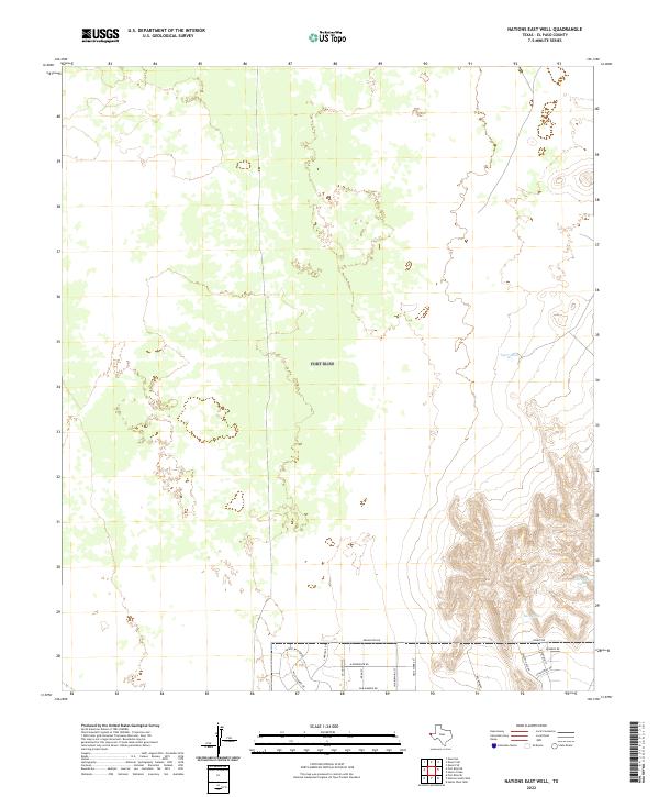
2022 Nations East Well
El Paso County, TX
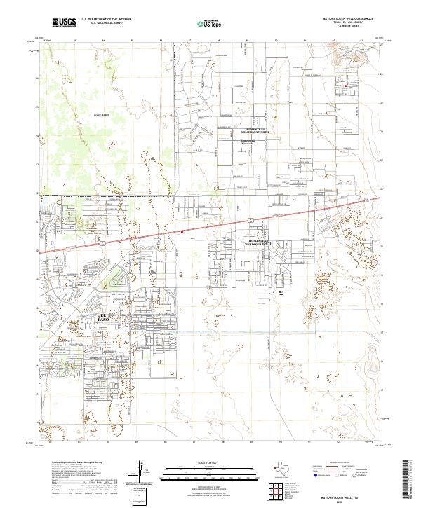
2022 Nations South Well
El Paso County, TX
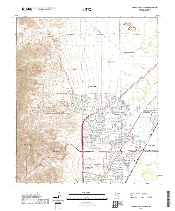
2022 North Franklin Mountain
El Paso County, TX
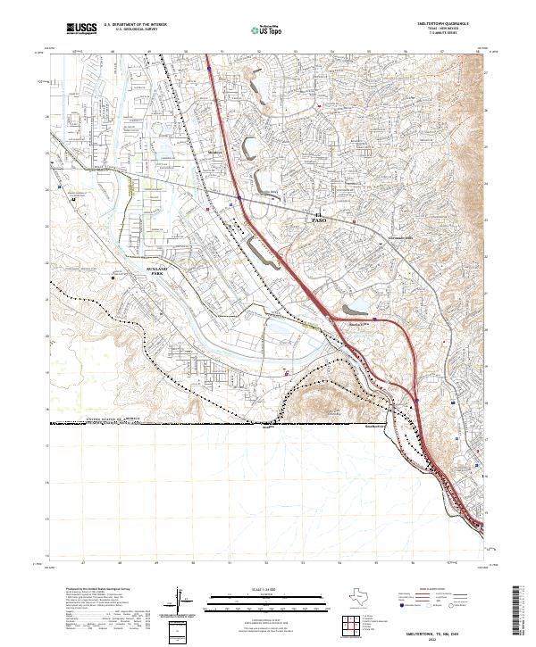
2022 Smeltertown
El Paso County, TX
2022 Ysleta
El Paso County, TX
2022 Ysleta NW
El Paso County, TX
Featured Locations
- El Paso, TX
- Turf Estates Number 1 Colonia, TX
- Del Norte Heights, El Paso
- Las Palmas Colonia, El Paso
- Las Palmas Number 2 Colonia, El Paso