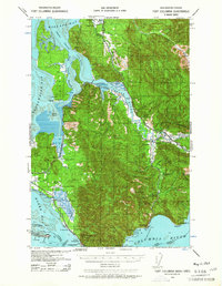
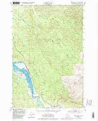
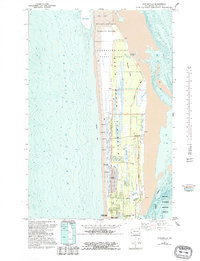
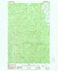
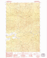
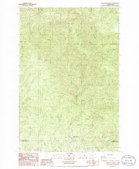
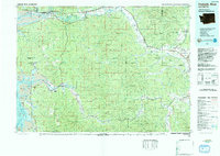
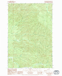
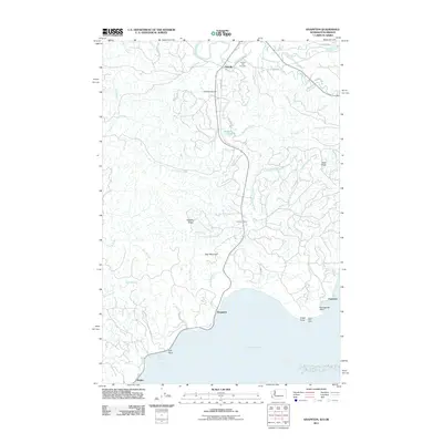
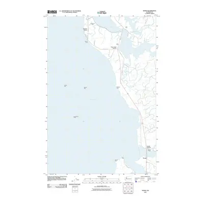
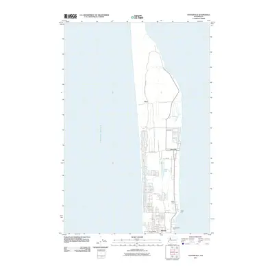
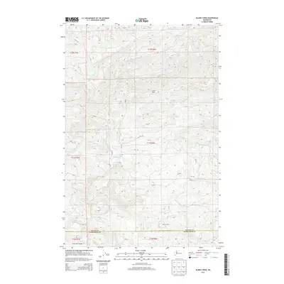
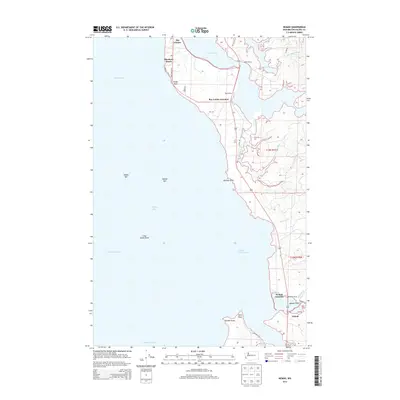
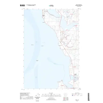
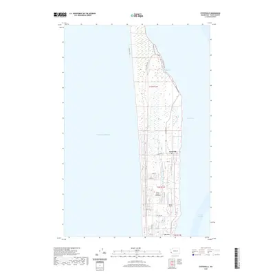
1938 Map of Fort Columbia
USGS Topo · Published 1964About this map
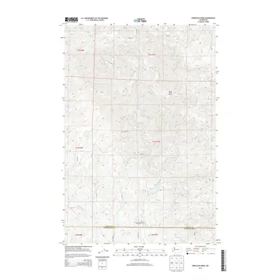
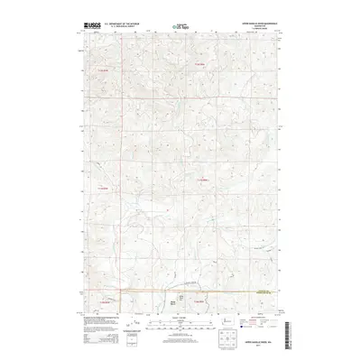
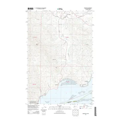
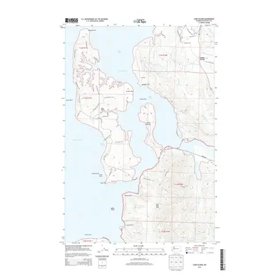
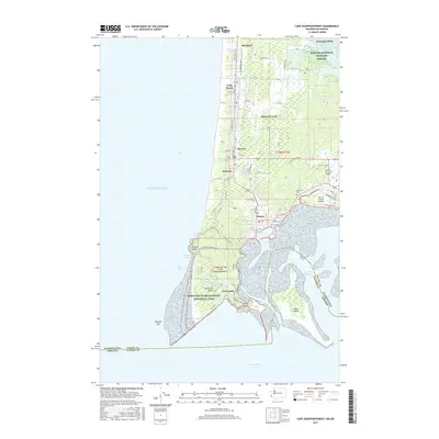
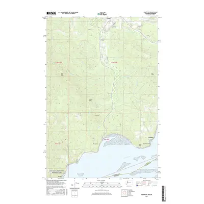
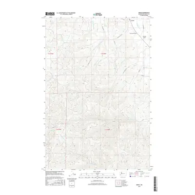
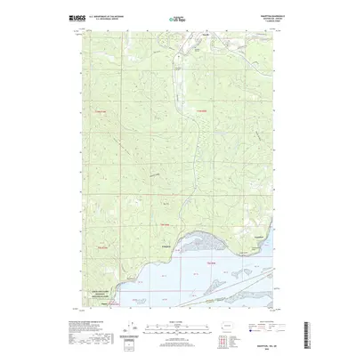
The Fort Columbia Military Reservation stands as a sentinel at the mouth of the Columbia River, guarding the strategic waterway between Washington and Oregon in the late 1930s. This coastal landscape is defined by the intricate tidal reaches of Willapa Bay and Baker Bay, where numerous family-owned properties like the Lagergren Ranch and J Goulter Ranch illustrate a rural economy of agriculture and oyster harvesting. The small settlements of Chinook and Knappton anchor the shoreline, while the interior is dominated by the ridges and valleys of the Naselle River.
Find a feature on this map
79 named features on this map. Tap any name to fly to it.
Don’t see what you’re looking for? This feature index may not catch every label — zoom into the map to look around manually.
Map Details
Editions of this 1938 Fort Columbia Map
2 editions found

Historical Maps of Ilwaco Through Time
98 maps found

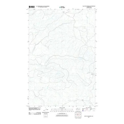
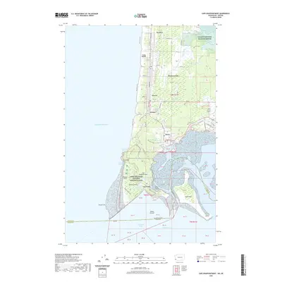
1938 Cape Disappointment
Pacific County, WA

1938 Cape Shoalwater
Pacific County, WA
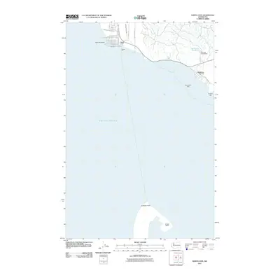
1938 Fort Columbia
Pacific County, WA

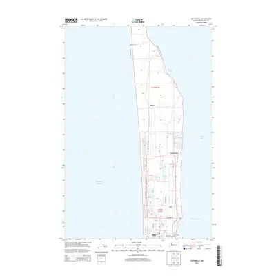
1940 Brookfield
Pacific County, WA

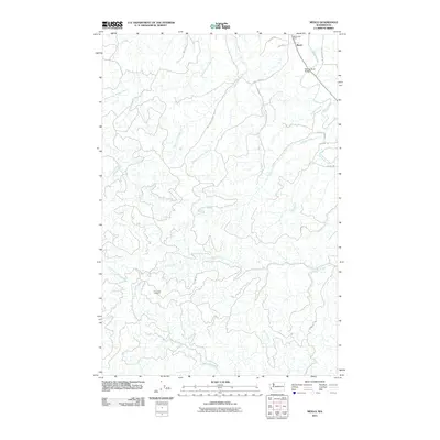
1941 Walville
Pacific County, WA

1943 Fort Columbia
Pacific County, WA
1949 Cape Disappointment
Pacific County, WA
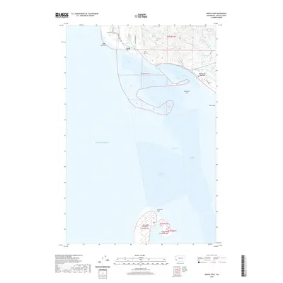
1949 Knappton
Pacific County, WA
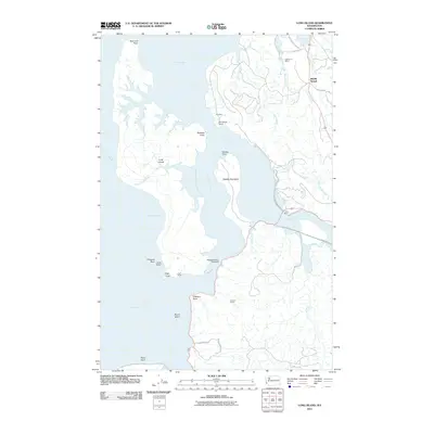
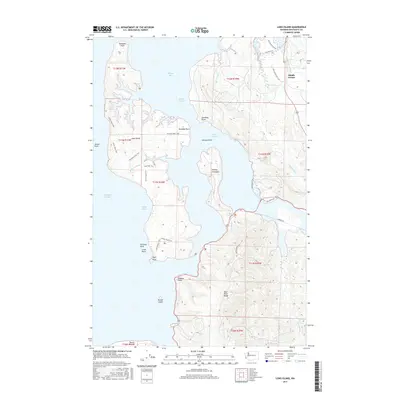
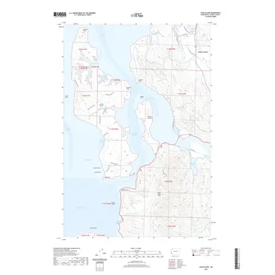
1949 Long Island
Pacific County, WA
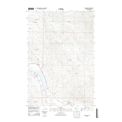
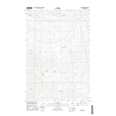
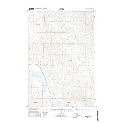
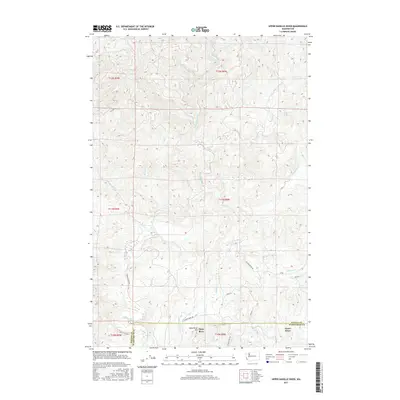
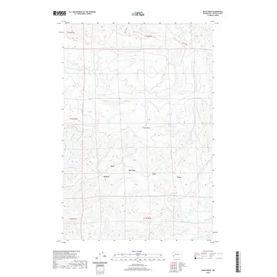
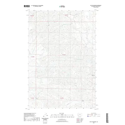
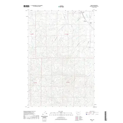
1949 Oman Ranch
Pacific County, WA

1949 Upper Naselle River
Pacific County, WA
1955 North Nemah
Pacific County, WA
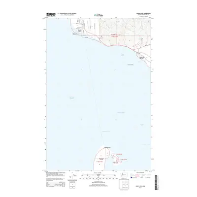
1956 North Cove
Pacific County, WA
1957 Nemah
Pacific County, WA
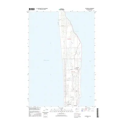
1957 Oysterville
Pacific County, WA
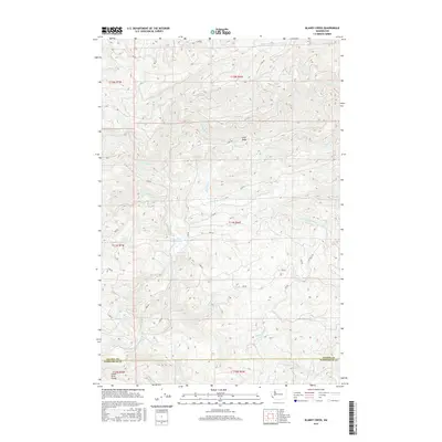
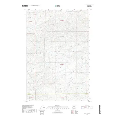
1986 Blaney Creek
Pacific County, WA
1986 Dean Creek
Pacific County, WA
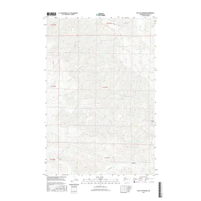
1986 East of Raymond
Pacific County, WA
1986 Menlo
Pacific County, WA
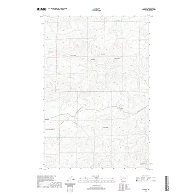
1986 Pluvius
Pacific County, WA
1986 Sweigiler Creek
Pacific County, WA
1992 Chehalis River
Pacific County, WA
1994 East of Raymond
Pacific County, WA
2011 Blaney Creek
Pacific County, WA
2011 Cape Disappointment
Pacific County, WA
2011 Dean Creek
Pacific County, WA
2011 East of Raymond
Pacific County, WA
2011 Knappton
Pacific County, WA
2011 Long Island
Pacific County, WA
2011 Menlo
Pacific County, WA
2011 Nemah
Pacific County, WA
2011 North Cove
Pacific County, WA
2011 North Nemah
Pacific County, WA
2011 Oman Ranch
Pacific County, WA
2011 Oysterville
Pacific County, WA
2011 Pluvius
Pacific County, WA
2011 Sweigiler Creek
Pacific County, WA
2011 Upper Naselle River
Pacific County, WA
2013 Blaney Creek
Pacific County, WA
2013 Dean Creek
Pacific County, WA
2013 East of Raymond
Pacific County, WA
2013 Menlo
Pacific County, WA
2013 Nemah
Pacific County, WA
2013 North Cove
Pacific County, WA
2013 North Nemah
Pacific County, WA
2013 Pluvius
Pacific County, WA
2013 Sweigiler Creek
Pacific County, WA
2013 Upper Naselle River
Pacific County, WA

2014 Cape Disappointment
Pacific County, WA
2014 Knappton
Pacific County, WA
2014 Long Island
Pacific County, WA
2014 Oman Ranch
Pacific County, WA
2014 Oysterville
Pacific County, WA
2017 Blaney Creek
Pacific County, WA
2017 Cape Disappointment
Pacific County, WA
2017 Dean Creek
Pacific County, WA
2017 East of Raymond
Pacific County, WA
2017 Knappton
Pacific County, WA
2017 Long Island
Pacific County, WA
2017 Menlo
Pacific County, WA
2017 Nemah
Pacific County, WA
2017 North Cove
Pacific County, WA
2017 North Nemah
Pacific County, WA
2017 Oman Ranch
Pacific County, WA
2017 Oysterville
Pacific County, WA
2017 Pluvius
Pacific County, WA
2017 Sweigiler Creek
Pacific County, WA
2017 Upper Naselle River
Pacific County, WA
2020 Blaney Creek
Pacific County, WA
2020 Cape Disappointment
Pacific County, WA
2020 Dean Creek
Pacific County, WA
2020 East of Raymond
Pacific County, WA
2020 Knappton
Pacific County, WA
2020 Long Island
Pacific County, WA
2020 Menlo
Pacific County, WA
2020 Nemah
Pacific County, WA
2020 North Cove
Pacific County, WA
2020 North Nemah
Pacific County, WA
2020 Oman Ranch
Pacific County, WA
2020 Oysterville
Pacific County, WA
2020 Pluvius
Pacific County, WA
2020 Sweigiler Creek
Pacific County, WA
2020 Upper Naselle River
Pacific County, WA
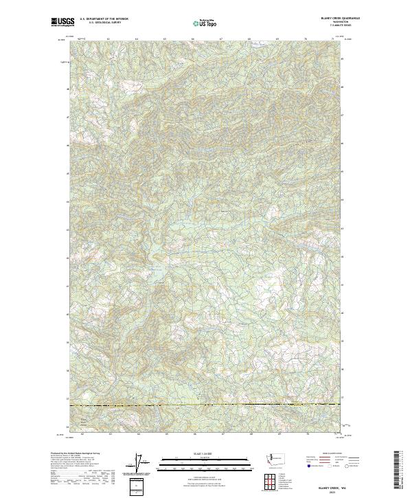
2023 Blaney Creek
Pacific County, WA
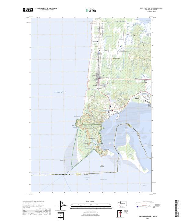
2023 Cape Disappointment
Pacific County, WA
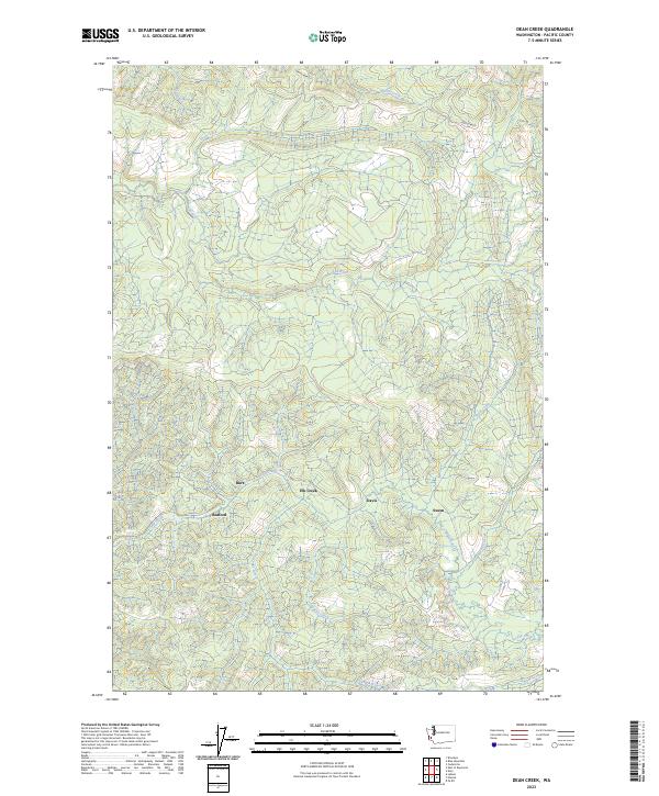
2023 Dean Creek
Pacific County, WA
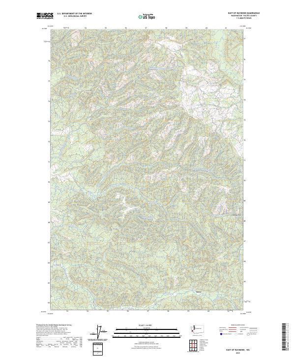
2023 East of Raymond
Pacific County, WA
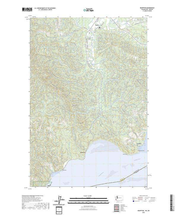
2023 Knappton
Pacific County, WA
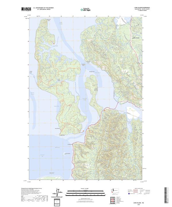
2023 Long Island
Pacific County, WA
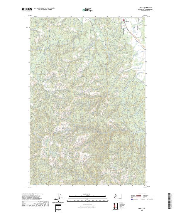
2023 Menlo
Pacific County, WA
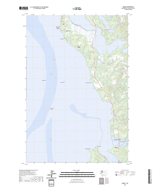
2023 Nemah
Pacific County, WA
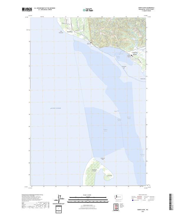
2023 North Cove
Pacific County, WA
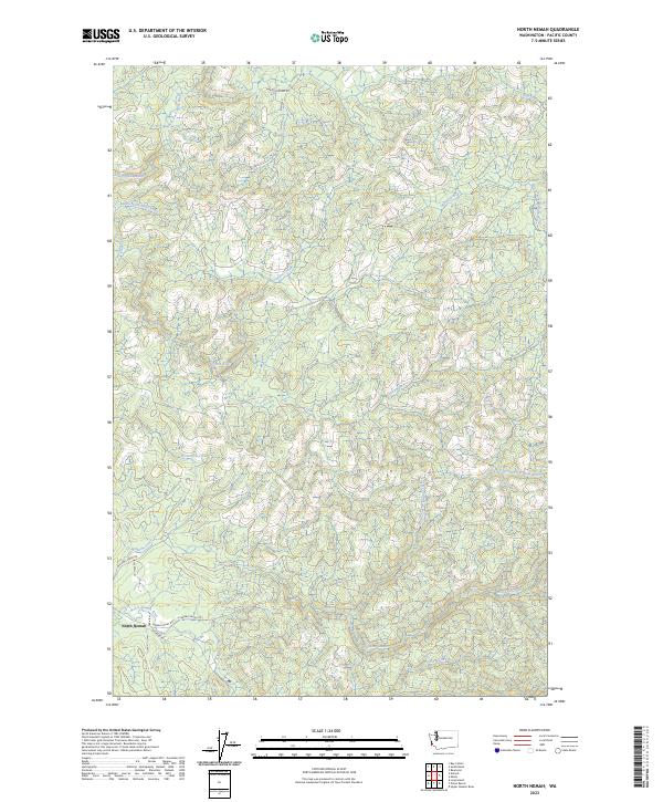
2023 North Nemah
Pacific County, WA
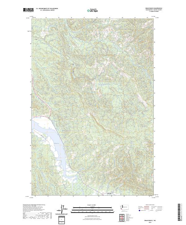
2023 Oman Ranch
Pacific County, WA
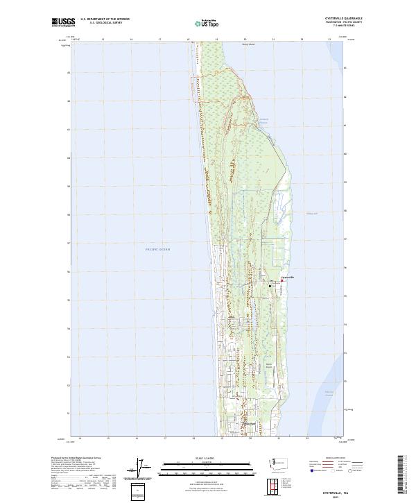
2023 Oysterville
Pacific County, WA
2023 Pluvius
Pacific County, WA
2023 Sweigiler Creek
Pacific County, WA
2023 Upper Naselle River
Pacific County, WA