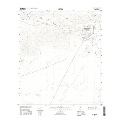
2016 Map of Fort Davis
USGS Topo · Published 2016About this map
The Fort Davis National Historic Site and its surrounding mountain terrain define this 2016 survey of West Texas. As the seat of Jeff Davis County, Fort Davis is situated at the intersection of several significant drainages, including Limpia Cr and Chihuahua Cr. The map details the transition from the high desert floor to the prominent peaks of Sleeping Lion Mtn and Dolores Mtn. Notable local landmarks like the Pioneer Cem and Saint Joseph Cem provide specific points of interest for genealogists, while the complex network of mountain roads such as Prude Guest Ranch Rd and Skyline Dr highlights the area's development for tourism and ranching. The topographical data also captures the deep incisions of Limpia Canyon and Keesey Canyon, which channel seasonal water toward the Sproul Reservoir.
Find a feature on this map
66 named features on this map. Tap any name to fly to it.
Don’t see what you’re looking for? This feature index may not catch every label — zoom into the map to look around manually.
Map Details
Editions of this 2016 Fort Davis Map
This is the sole edition of this map. No revisions or reprints were ever made.
Other maps of this area

1894 · Valentine
USGS Topo · 1:125,000

1894 · Fort Davis
USGS Topo · 1:125,000

1895 · Marfa
USGS Topo · 1:125,000

1895 · Alpine
USGS Topo · 1:125,000

1897 · Valentine
USGS Topo · 1:125,000

1897 · Fort Davis
USGS Topo · 1:125,000

1943 · Valentine
USGS Topo · 1:125,000

1954 · Fort Stockton
USGS Topo · 1:250,000

1958 · Fort Stockton
USGS Topo · 1:250,000

1959 · Marfa
USGS Topo · 1:250,000