
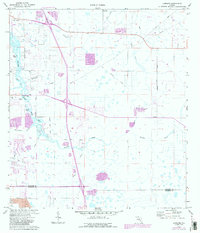
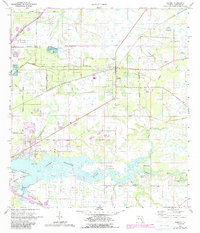
1921 Map of Fort De Soto
USGS Topo · Published 1921This historical map portrays the area of Fort De Soto in 1921, primarily covering Manatee County as well as portions of Hillsborough County and Pinellas County. Featuring a scale of 1:62500, this map provides a highly detailed snapshot of the terrain, roads, buildings, counties, and historical landmarks in the Fort De Soto region at the time. Published in 1921, it is one of 2 known editions of this map due to revisions or reprints.
Find a feature on this map
56 named features on this map. Tap any name to fly to it.
Don’t see what you’re looking for? This feature index may not catch every label — zoom into the map to look around manually.
Map Details
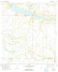
Editions of this 1921 Fort De Soto Map
2 editions found

Historical Maps of Memphis Heights Through Time
15 maps found
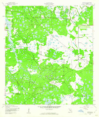
1921 Fort De Soto
Manatee County, FL
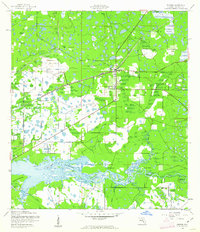
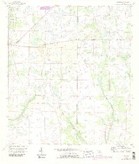
1944 Lorraine
Manatee County, FL
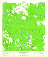
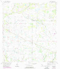
1944 Parrish
Manatee County, FL
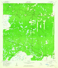
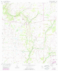
1944 Rye
Manatee County, FL
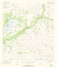
1944 Verna
Manatee County, FL
1956 Duette
Manatee County, FL
1956 Edgeville
Manatee County, FL
1956 Keentown
Manatee County, FL
1956 Myakka City
Manatee County, FL
1956 Myakka City NW
Manatee County, FL
1956 Myakka Head
Manatee County, FL
1972 Rye
Manatee County, FL
1973 Lorraine
Manatee County, FL
1973 Parrish
Manatee County, FL
1973 Verna
Manatee County, FL