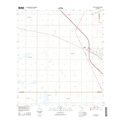
2015 Map of Fort Drum NW
USGS Topo · Published 2015About this map
Yeehaw Junction serves as the focal point of this 2015 survey, marking the crossroads of central Florida's transportation network where SR-60 meets S Kenansville Rd and the Florida's Tpke. The landscape is defined by its low-lying drainage patterns, with Blue Cypress Cr and Cow Log Br winding through the eastern sections.
Find a feature on this map
31 named features on this map. Tap any name to fly to it.
Don’t see what you’re looking for? This feature index may not catch every label — zoom into the map to look around manually.
Map Details
Editions of this 2015 Fort Drum NW Map
This is the sole edition of this map. No revisions or reprints were ever made.
Other maps of this area

1953 · Fort Drum
USGS Topo · 1:24,000

1953 · Fort Kissimmee NE
USGS Topo · 1:24,000

1953 · Fort Drum SW
USGS Topo · 1:24,000

1953 · Lake Marian SE
USGS Topo · 1:24,000

1953 · Fort Drum NW
USGS Topo · 1:24,000

1953 · Kenansville SW
USGS Topo · 1:24,000

1953 · Fort Drum NE
USGS Topo · 1:24,000

1953 · Kenansville SE
USGS Topo · 1:24,000

1953 · Fort Kissimmee SE
USGS Topo · 1:24,000

1956 · Fort Pierce
USGS Topo · 1:250,000