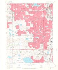
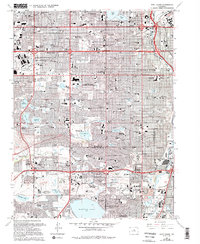
1965 Map of Fort Logan
USGS Topo · Published 1967About this map
The Fort Logan military installation and its adjacent National Cemetery anchor the southern landscape of this 1965 survey, which captures the post-war suburban expansion southwest of Denver. The terrain is defined by a sophisticated water management network, including the massive Marston Lake and the Moffat Filtration Plant, feeding the growth of Lakewood and Englewood. Massive institutional footprints like the Denver Federal Center and the Federal Correctional Institute contrast with the burgeoning residential grids and emerging retail hubs like the Westland Shopping Center.
Find a feature on this map
131 named features on this map. Tap any name to fly to it.
Don’t see what you’re looking for? This feature index may not catch every label — zoom into the map to look around manually.
Map Details
Editions of this 1965 Fort Logan Map
5 editions found
Other maps of this area

1890 · East Denver
USGS Topo · 1:125,000

1899 · West Denver
USGS Topo · 1:125,000

1935 · East Denver Nos. 3 and 4
USGS Topo · 1:48,000

1938 · Morrison
USGS Topo · 1:24,000

1938 · Derby
USGS Topo · 1:24,000

1939 · Golden
USGS Topo · 1:24,000

1940 · Englewood
USGS Topo · 1:31,680

1940 · Derby
USGS Topo · 1:31,680

1941 · Arvada
USGS Topo · 1:31,680

1941 · Fort Logan
USGS Topo · 1:31,680