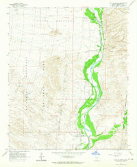
1964 Map of Fort McDowell
USGS Topo · Published 1965About this map
The Verde River serves as the central artery for this mid-1960s desert landscape, its riparian corridor vividly contrasted against the surrounding arid terrain. Along its banks, the Jones Ditch irrigation system traces the water's edge, supporting local agriculture at the Box Bar Ranch. To the south, the community of Fort McDowell is established near the original Fort McDowell (Site) and a small Cem, marking the historical focus of settlement within the Fort McDowell Indian Reservation Boundary.
Find a feature on this map
16 named features on this map. Tap any name to fly to it.
Don’t see what you’re looking for? This feature index may not catch every label — zoom into the map to look around manually.
Map Details
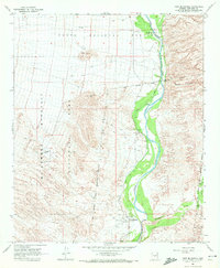
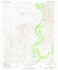
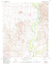
Editions of this 1964 Fort McDowell Map
4 editions found
Other maps of this area

1904 · Camelback
USGS Topo · 1:62,500

1904 · Ft. McDowell
USGS Topo · 1:62,500

1906 · Camelsback
USGS Topo · 1:62,500

1906 · Ft. McDowell
USGS Topo · 1:62,500

1930 · Cave Creek
USGS Topo · 1:125,000

1939 · Cave Creek
USGS Topo · 1:125,000

1954 · Mesa
USGS Topo · 1:250,000

1957 · Mesa
USGS Topo · 1:250,000

1958 · Mesa
USGS Topo · 1:250,000

1960 · Mesa
USGS Topo · 1:250,000