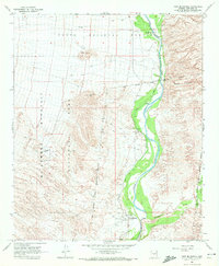
1964 Map of Fort McDowell
USGS Topo · Published 1972About this map
The Verde River serves as the central artery of this mid-century landscape, flanked by complex irrigation systems including the Jones Ditch and numerous siphons. This 1964 survey captures the agrarian and ranching character of the region during a period of transition, noting established properties such as the Mooren Ranch, Box Bar Ranch, and Pemberton Ranch. The historical weight of the area is centered at Fort McDowell, where the original Fort McDowell (Site) and a Cem are clearly marked at the edge of the Fort McDowell Indian Reservation.
Find a feature on this map
20 named features on this map. Tap any name to fly to it.
Don’t see what you’re looking for? This feature index may not catch every label — zoom into the map to look around manually.
Map Details
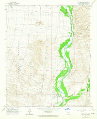
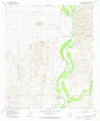
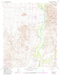
Editions of this 1964 Fort McDowell Map
4 editions found
Other maps of this area

1904 · Camelback
USGS Topo · 1:62,500

1904 · Ft. McDowell
USGS Topo · 1:62,500

1906 · Camelsback
USGS Topo · 1:62,500

1906 · Ft. McDowell
USGS Topo · 1:62,500

1930 · Cave Creek
USGS Topo · 1:125,000

1939 · Cave Creek
USGS Topo · 1:125,000

1954 · Mesa
USGS Topo · 1:250,000

1957 · Mesa
USGS Topo · 1:250,000

1958 · Mesa
USGS Topo · 1:250,000

1960 · Mesa
USGS Topo · 1:250,000