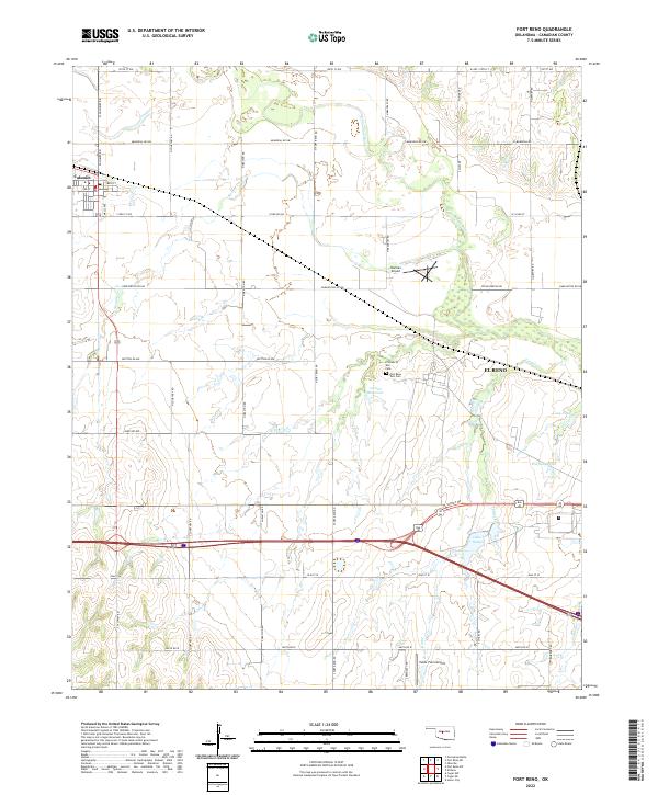
2022 Map of Fort Reno
USGS Topo · Published 2022About this map
Military history and agricultural patterns converge in this modern survey of the landscape surrounding El Reno and Calumet. The terrain is significantly shaped by the presence of the North Canadian River and its various tributaries, such as Sixmile Creek and Target Creek. A notable concentration of historical sites resides near the 017002 Reservoir, including the Prisoner of War Cemetery and the Fort Reno Post Cemetery, which offer a tangible connection to the region's mid-century military legacy.
Find a feature on this map
48 named features on this map. Tap any name to fly to it.
Don’t see what you’re looking for? This feature index may not catch every label — zoom into the map to look around manually.
Map Details
Editions of this 2022 Fort Reno Map
This is the sole edition of this map. No revisions or reprints were ever made.
Other maps of this area

1892 · Kingfisher
USGS Topo · 1:125,000

1893 · Fort Reno
USGS Topo · 1:62,500

1893 · Buggy Creek
USGS Topo · 1:62,500

1893 · Minco
USGS Topo · 1:62,500

1895 · Kingfisher
USGS Topo · 1:125,000

1904 · Chickasha
USGS Topo · 1:125,000

1941 · Fort Reno
USGS Topo · 1:62,500

1942 · Fort Reno
USGS Topo · 1:62,500

1949 · Fort Reno
USGS Topo · 1:62,500

1954 · Oklahoma City
USGS Topo · 1:250,000