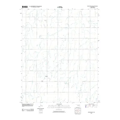
2010 Map of Fort Reno NE
USGS Topo · Published 2010About this map
The North Canadian River meanders across the southern portion of this landscape, anchoring a rural expanse defined by a precise section-line road grid in Canadian County. This 2010 survey reflects a largely agricultural and pastoral setting north of the river, where numerous small stock ponds and drainages like Winter Camp Creek feed into the larger waterway. The presence of the Canadian Valley Cemetery serves as a significant marker for local genealogical research, positioned near Edmond Rd NW.
Find a feature on this map
26 named features on this map. Tap any name to fly to it.
Don’t see what you’re looking for? This feature index may not catch every label — zoom into the map to look around manually.
Map Details
Editions of this 2010 Fort Reno NE Map
This is the sole edition of this map. No revisions or reprints were ever made.
Other maps of this area

1892 · Kingfisher
USGS Topo · 1:125,000

1893 · Fort Reno
USGS Topo · 1:62,500

1893 · Loyal
USGS Topo · 1:62,500

1895 · Kingfisher
USGS Topo · 1:125,000

1941 · Fort Reno
USGS Topo · 1:62,500

1942 · Fort Reno
USGS Topo · 1:62,500

1949 · Fort Reno
USGS Topo · 1:62,500

1954 · Oklahoma City
USGS Topo · 1:250,000

1955 · Clinton
USGS Topo · 1:250,000

1957 · Clinton
USGS Topo · 1:250,000