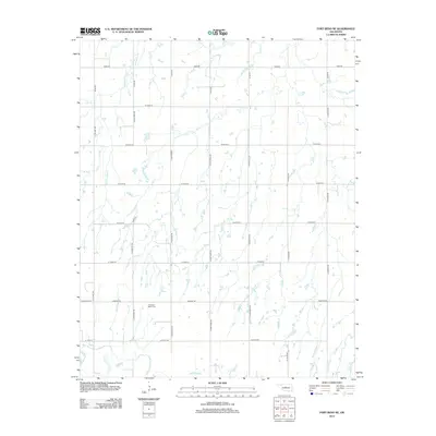
2013 Map of Fort Reno NE
USGS Topo · Published 2013About this map
The North Canadian River meanders through the southern portion of this landscape, its path defining the local drainage and topography in Canadian County. This 2013 survey reveals a highly organized section-line road network typical of the Oklahoma prairie, where routes like N Calumet Rd and N Airport Rd establish a precise geographic grid. Of significant interest for local history and genealogy is the Canadian Valley Cem, situated along W Edmond Rd. Smaller waterways such as Winter Camp Cr cross the northern sectors, intersecting with rural corridors including N Fort Reno Rd. The map illustrates the persistent intersection of pioneer-era burial sites and water-dependent geography with the modern, rigid infrastructure of the region.
Find a feature on this map
27 named features on this map. Tap any name to fly to it.
Don’t see what you’re looking for? This feature index may not catch every label — zoom into the map to look around manually.
Map Details
Editions of this 2013 Fort Reno NE Map
This is the sole edition of this map. No revisions or reprints were ever made.
Other maps of this area

1892 · Kingfisher
USGS Topo · 1:125,000

1893 · Fort Reno
USGS Topo · 1:62,500

1893 · Loyal
USGS Topo · 1:62,500

1895 · Kingfisher
USGS Topo · 1:125,000

1941 · Fort Reno
USGS Topo · 1:62,500

1942 · Fort Reno
USGS Topo · 1:62,500

1949 · Fort Reno
USGS Topo · 1:62,500

1954 · Oklahoma City
USGS Topo · 1:250,000

1955 · Clinton
USGS Topo · 1:250,000

1957 · Clinton
USGS Topo · 1:250,000