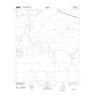
2012 Map of Fort Union
USGS Topo · Published 2012About this map
The Alapaha River joins the main branch of the Suwannee River in this section of northern Florida, creating a landscape defined by waterway confluences and riparian bluffs. This 2012 survey shows the rural character of Suwannee County, where agricultural lands are dotted with local landmarks like Gohegan Millpond and Cypress Pond. The map serves as a modern record of established communities such as Adams and the namesake Fort Union, as well as the sprawling campus of the Florida Sheriffs Boys Ranch. Private aviation is notably present through the Pittman Oaks Airport and the Florida Sheriffs Boys Ranch Airport. Genealogists will find the locations of New Hope Cem and West Lake Cem particularly useful for tracing local family histories in this riverine corridor.
Find a feature on this map
92 named features on this map. Tap any name to fly to it.
Don’t see what you’re looking for? This feature index may not catch every label — zoom into the map to look around manually.
Map Details
Editions of this 2012 Fort Union Map
This is the sole edition of this map. No revisions or reprints were ever made.
Other maps of this area

1954 · Valdosta
USGS Topo · 1:250,000

1955 · Jasper
USGS Topo · 1:24,000

1956 · Jennings
USGS Topo · 1:24,000

1956 · Octahatchee
USGS Topo · 1:24,000

1958 · Valdosta
USGS Topo · 1:250,000

1958 · Fort Union
USGS Topo · 1:24,000

1959 · Valdosta
USGS Topo · 1:250,000

1959 · Ellaville
USGS Topo · 1:24,000

1959 · Live Oak West
USGS Topo · 1:24,000

1959 · Falmouth
USGS Topo · 1:24,000