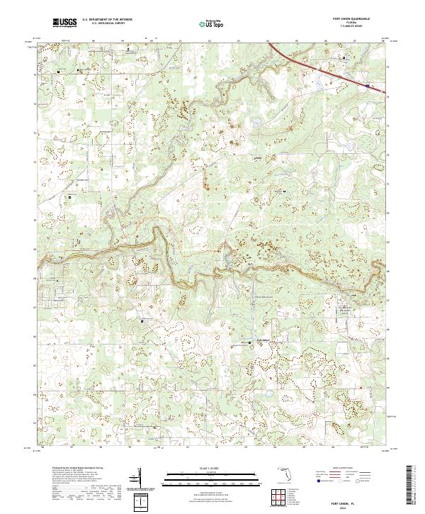
2024 Map of Fort Union
USGS Topo · Published 2024About this map
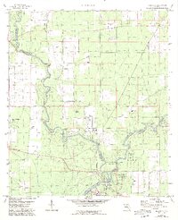
The Suwannee River and Alapaha River converge in this northern Florida landscape, defining a rural corridor along the border of Hamilton and Suwannee counties. The area is marked by a dense concentration of family and community burial grounds, such as the Hardee Family Cem, Deas Cem, and Sellers Cem, reflecting a long-established network of homesteads and small settlements like Adams and Fort Union. The terrain is shaped by water, featuring distinctive depressions like Eleven Ponds and Cypress Pond alongside the river's winding course.
Find a feature on this map
42 named features on this map. Tap any name to fly to it.
Don’t see what you’re looking for? This feature index may not catch every label — zoom into the map to look around manually.
Map Details
Editions of this 2024 Fort Union Map
This is the sole edition of this map. No revisions or reprints were ever made.
Historical Maps of Suwannee County Through Time
15 maps found
1955 Cypress Creek
Hamilton County, FL
1956 Octahatchee
Hamilton County, FL
1958 Fort Union
Hamilton County, FL
1959 Ellaville
Hamilton County, FL
1961 Hillcoat
Hamilton County, FL
1962 Genoa
Hamilton County, FL
1969 Benton
Hamilton County, FL
2006 Benton
Hamilton County, FL
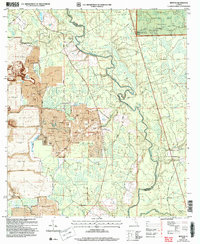
2024 Benton
Hamilton County, FL
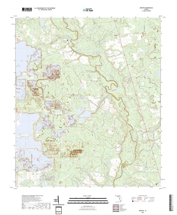
2024 Cypress Creek
Hamilton County, FL
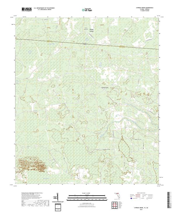
2024 Ellaville
Hamilton County, FL
2024 Fort Union
Hamilton County, FL
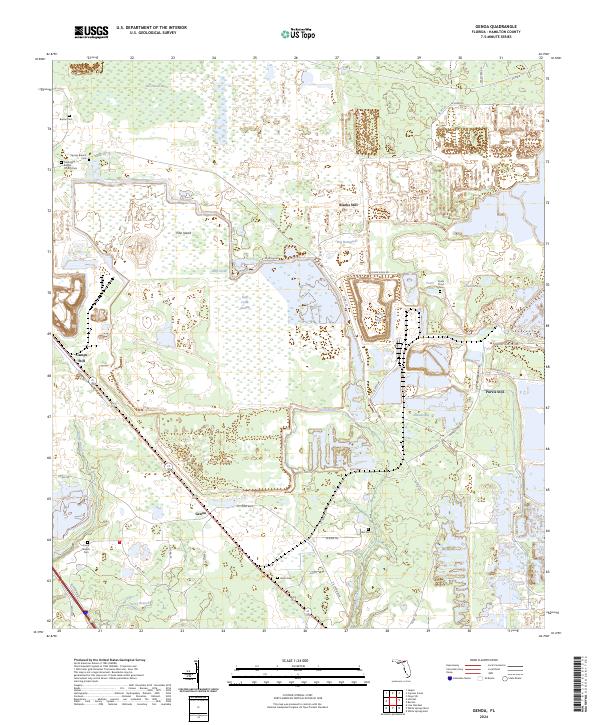
2024 Genoa
Hamilton County, FL
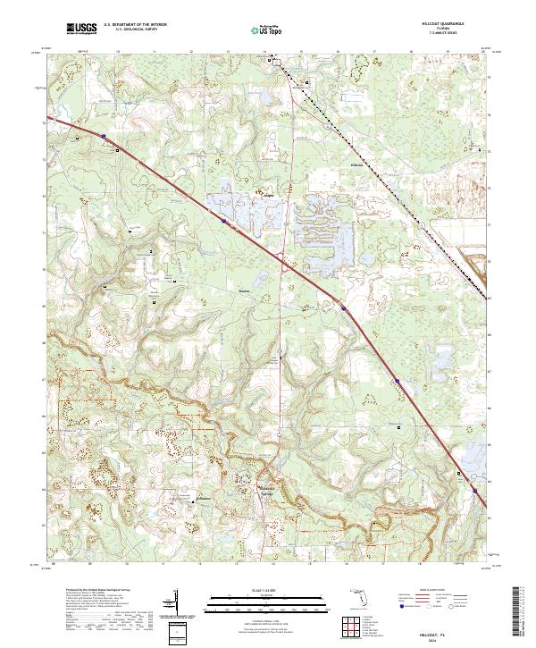
2024 Hillcoat
Hamilton County, FL
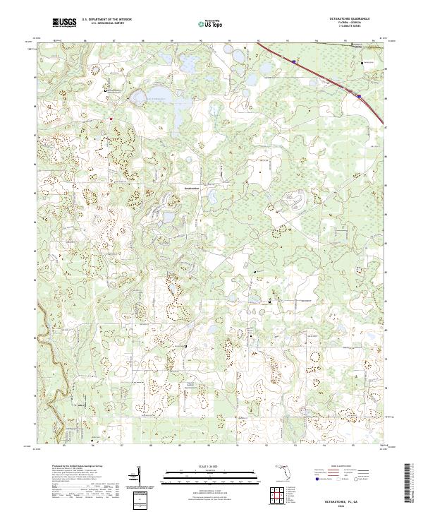
2024 Octahatchee
Hamilton County, FL