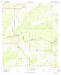
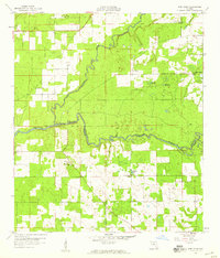
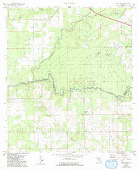
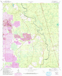
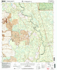
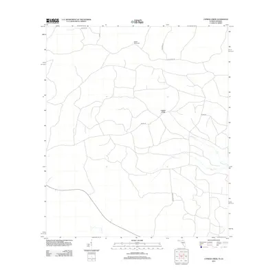
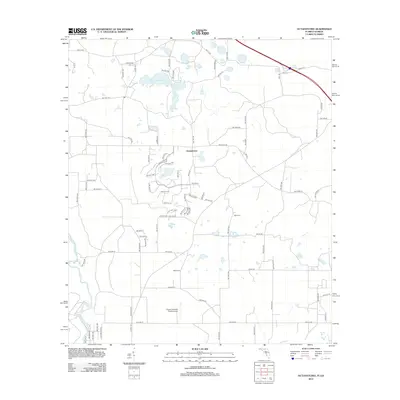
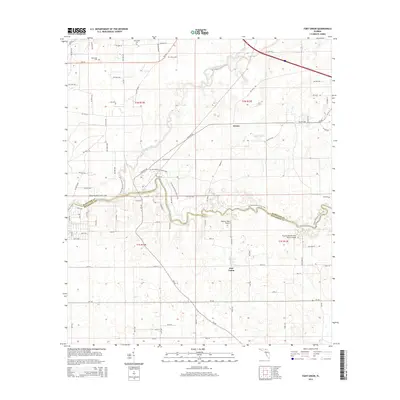
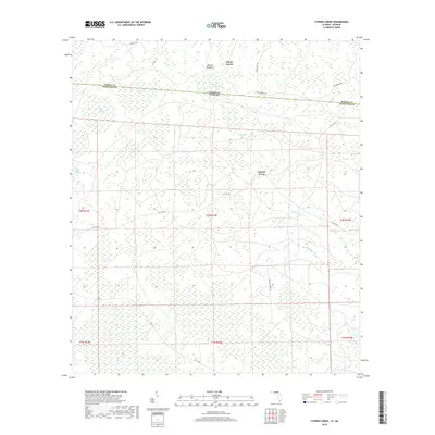
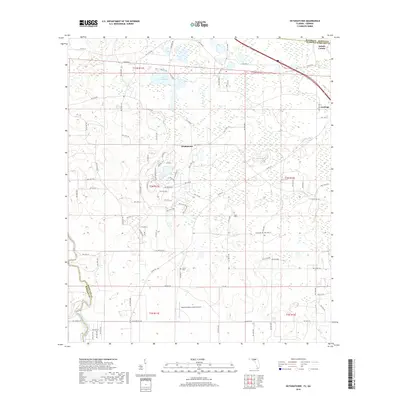
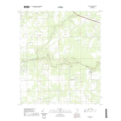
1958 Map of Fort Union
USGS Topo · Published 1977About this map
The confluence of the Alapaha River and the Suwannee River anchor this mid-century look at central Hamilton Co. This landscape is defined by its water and winding riverbanks, where small settlements like Adams, Allison, and Rosemary are connected by a network of unimproved roads and the prominent Base Line surveying track. Local history is preserved in the distribution of rural landmarks, including the Fort Union Cem and several community churches such as New Hope Ch, Friendship Ch, and Rosemary Ch. The presence of Gohegan Millpond and scattered basins like Eleven Ponds and Cypress Pond reflect the hydraulic character of this Florida timber and agricultural region before extensive modern development altered the drainage patterns and secondary roads.
Find a feature on this map
20 named features on this map. Tap any name to fly to it.
Don’t see what you’re looking for? This feature index may not catch every label — zoom into the map to look around manually.
Map Details
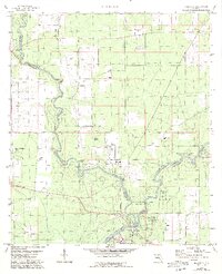
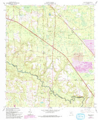
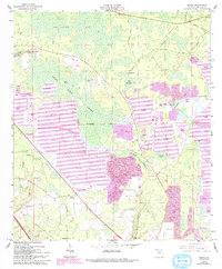
Editions of this 1958 Fort Union Map
3 editions found
Historical Maps of Adams Through Time
45 maps found
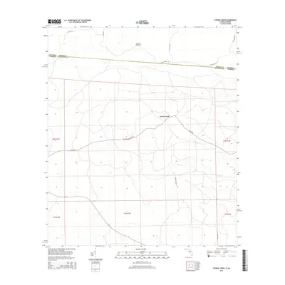
1955 Cypress Creek
Hamilton County, FL
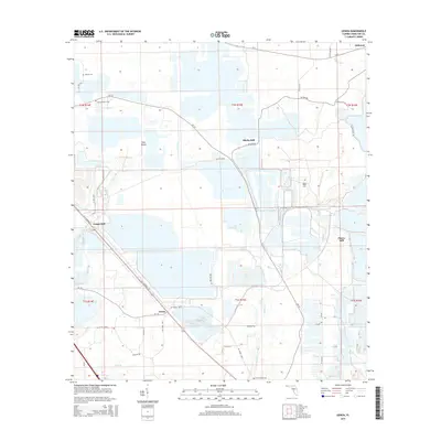
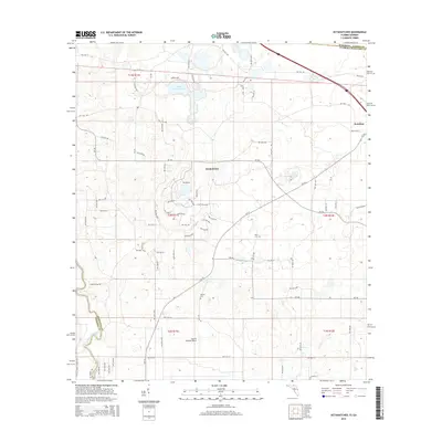
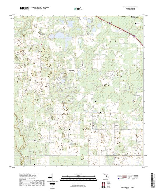
1956 Octahatchee
Hamilton County, FL
1958 Fort Union
Hamilton County, FL
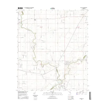
1959 Ellaville
Hamilton County, FL
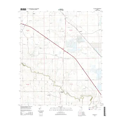
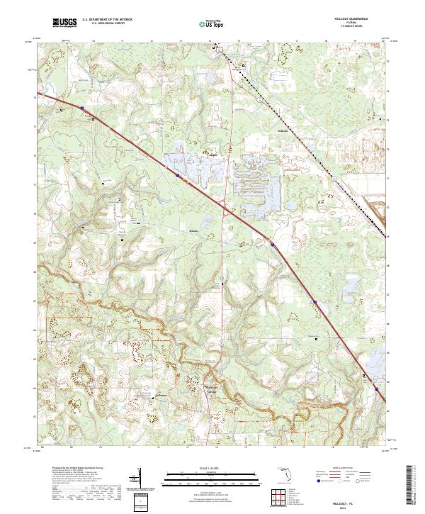
1961 Hillcoat
Hamilton County, FL
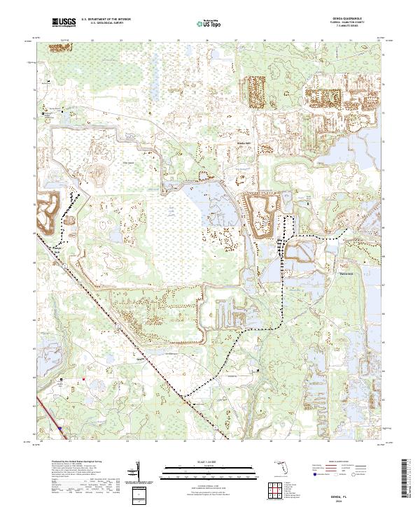
1962 Genoa
Hamilton County, FL
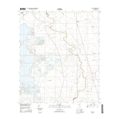
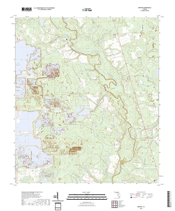
1969 Benton
Hamilton County, FL
2006 Benton
Hamilton County, FL
2011 Cypress Creek
Hamilton County, FL
2011 Octahatchee
Hamilton County, FL

2012 Benton
Hamilton County, FL
2012 Cypress Creek
Hamilton County, FL
2012 Ellaville
Hamilton County, FL
2012 Fort Union
Hamilton County, FL

2012 Genoa
Hamilton County, FL
2012 Hillcoat
Hamilton County, FL
2012 Octahatchee
Hamilton County, FL
2015 Benton
Hamilton County, FL
2015 Cypress Creek
Hamilton County, FL
2015 Ellaville
Hamilton County, FL
2015 Fort Union
Hamilton County, FL
2015 Genoa
Hamilton County, FL
2015 Hillcoat
Hamilton County, FL
2015 Octahatchee
Hamilton County, FL

2018 Benton
Hamilton County, FL
2018 Cypress Creek
Hamilton County, FL
2018 Ellaville
Hamilton County, FL
2018 Fort Union
Hamilton County, FL

2018 Genoa
Hamilton County, FL
2018 Hillcoat
Hamilton County, FL
2018 Octahatchee
Hamilton County, FL
2021 Benton
Hamilton County, FL
2021 Cypress Creek
Hamilton County, FL
2021 Ellaville
Hamilton County, FL
2021 Fort Union
Hamilton County, FL
2021 Genoa
Hamilton County, FL
2021 Hillcoat
Hamilton County, FL
2021 Octahatchee
Hamilton County, FL
2024 Benton
Hamilton County, FL
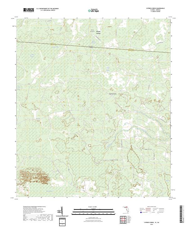
2024 Cypress Creek
Hamilton County, FL
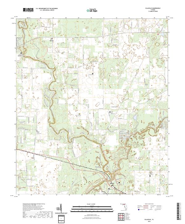
2024 Ellaville
Hamilton County, FL
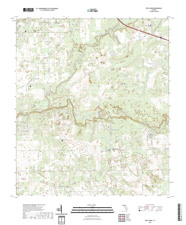
2024 Fort Union
Hamilton County, FL
2024 Genoa
Hamilton County, FL
2024 Hillcoat
Hamilton County, FL
2024 Octahatchee
Hamilton County, FL