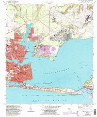
1970 Map of Fort Walton Beach
USGS Topo · Published 1978About this map
Fort Walton Beach and the surrounding emerald coast display the significant military and maritime footprint of the early 1970s. The dense residential grid of Ocean City and Cinco Bayou contrasts with the massive expanse of Eglin Air Force Base to the north and east, where the US Government Railroad cuts through the pine-covered acreage. The map records the development of Eglin Village and Shalimar, while established institutions like Choctawhatchee High Sch and St Marys Ch serve the growing coastal population.
Find a feature on this map
60 named features on this map. Tap any name to fly to it.
Don’t see what you’re looking for? This feature index may not catch every label — zoom into the map to look around manually.
Map Details
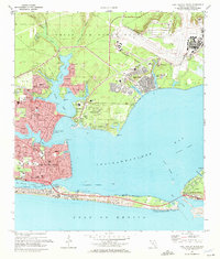
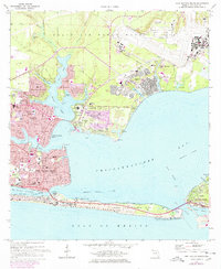
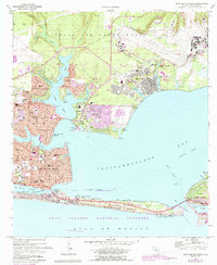
Editions of this 1970 Fort Walton Beach Map
4 editions found
Other maps of this area

1934 · Holt
USGS Topo · 1:48,000

1934 · Niceville
USGS Topo · 1:48,000

1935 · Villa Tasso
USGS Topo · 1:48,000

1936 · Niceville
USGS Topo · 1:62,500

1937 · Holt
USGS Topo · 1:62,500

1938 · Mary Esther
USGS Topo · 1:62,500

1938 · Villa Tasso
USGS Topo · 1:62,500

1956 · Niceville
USGS Topo · 1:62,500

1956 · Fort Walton Beach
USGS Topo · 1:62,500

1956 · Holt
USGS Topo · 1:62,500