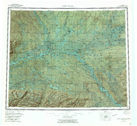
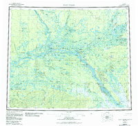
1956 Map of Fort Yukon
USGS Topo · Published 1964About this map
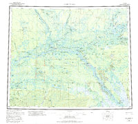
Fort Yukon stands as the primary hub within the expansive Yukon Flats, situated where the Porcupine River meets the Yukon River. This mid-century survey illustrates a landscape defined by seasonal movement and river-dependent life, featuring numerous isolated structures like the Bearman Cabin and Joe Carroll Cabin. The presence of the Venetie Indian Reservation and settlements such as Alexander Village and Venetie Landing underscores the region's enduring indigenous heritage.
Find a feature on this map
97 named features on this map. Tap any name to fly to it.
Don’t see what you’re looking for? This feature index may not catch every label — zoom into the map to look around manually.
Map Details
Editions of this 1956 Fort Yukon Map
7 editions found

Other maps of this area

1945 · Livengood
USGS Topo · 1:250,000

1951 · Fort Yukon
USGS Topo · 1:250,000

1951 · Charley River
USGS Topo · 1:250,000

1951 · Black River
USGS Topo · 1:250,000

1951 · Coleen
USGS Topo · 1:250,000

1951 · Chandalar
USGS Topo · 1:250,000

1951 · Livengood
USGS Topo · 1:250,000

1951 · Christian
USGS Topo · 1:250,000

1951 · Beaver
USGS Topo · 1:250,000

1951 · Circle
USGS Topo · 1:250,000