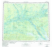
1956 Map of Fort Yukon
USGS Topo · Published 1984About this map
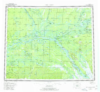
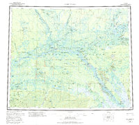
The Arctic Circle bisects this subarctic landscape where the Yukon River meets the Porcupine River and Chandalar River. Centered on the historic trading hub of Fort Yukon, the map reveals a complex aquatic network across the Yukon Flats, defined by shifting sloughs like Curtis Slough and Lower Birch Creek Slough. The distribution of seasonal and permanent habitations such as Venetie, Alexander Village, and Twenty-two Mile Village reflects a landscape tied to river transport and traditional subsistence. Numerous small outposts, including Bearman Cabin and the Joe Carroll Cabin, are scattered throughout the Fort Yukon National Wildlife Refuge and the Venetie Indian Reservation, illustrating the intersection of federal conservation and Indigenous land use in the mid-20th century. The presence of the Fort Yukon Municipal Airport and various landing strips highlights the area's reliance on bush aviation for connectivity across the roadless interior.
Find a feature on this map
83 named features on this map. Tap any name to fly to it.
Don’t see what you’re looking for? This feature index may not catch every label — zoom into the map to look around manually.
Map Details
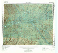
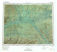
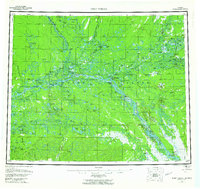
Editions of this 1956 Fort Yukon Map
7 editions found

Other maps of this area

1945 · Livengood
USGS Topo · 1:250,000

1951 · Fort Yukon
USGS Topo · 1:250,000

1951 · Charley River
USGS Topo · 1:250,000

1951 · Black River
USGS Topo · 1:250,000

1951 · Coleen
USGS Topo · 1:250,000

1951 · Chandalar
USGS Topo · 1:250,000

1951 · Livengood
USGS Topo · 1:250,000

1951 · Christian
USGS Topo · 1:250,000

1951 · Beaver
USGS Topo · 1:250,000

1951 · Circle
USGS Topo · 1:250,000