
1956 Map of Foster City
USGS Topo · Published 1957About this map
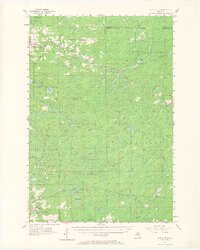
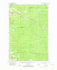
The Chicago and North Western rail corridor anchors this mid-century survey of the rugged timberlands where Dickinson and Menominee Counties meet. Early logging settlements and railroad sidings like Foster City, Hardwood, and Helps dot the landscape, connected by a network of spurs including the Kimberley Branch. The terrain is defined by the winding course of the Sturgeon River and its numerous tributaries such as Hancock Creek and Pocans Creek, which flow through several dedicated tracts of state forest land. Near the southern edge, the settlement of Waucedah and the Waucedah Township Cem provide evidence of early township organization. The map captures the transition of the Upper Peninsula from a primary logging frontier toward a landscape managed by agencies like the Sturgeon River State Forest and Menominee State Forest.
Find a feature on this map
40 named features on this map. Tap any name to fly to it.
Don’t see what you’re looking for? This feature index may not catch every label — zoom into the map to look around manually.
Map Details
Editions of this 1956 Foster City Map
3 editions found
Other maps of this area

1932 · Helena SW
USGS Topo · 1:31,680

1939 · Pembine
USGS Topo · 1:48,000

1947 · Pembine
USGS Topo · 1:48,000

1951 · Helena SW
USGS Topo · 1:31,680

1954 · Escanaba
USGS Topo · 1:250,000

1955 · Vulcan
USGS Topo · 1:24,000

1955 · Norway
USGS Topo · 1:62,500

1955 · Ralph
USGS Topo · 1:62,500

1957 · Escanaba
USGS Topo · 1:250,000

1957 · Northland
USGS Topo · 1:62,500