
1952 Map of Fouke NE
USGS Topo · Published 1953About this map
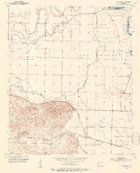
McKinney Bayou winds through the riverine lowlands of southern Miller County, defining a landscape shaped by the shifting course of the Red River. The map reveals a transition from the elevated terrain of Wolf Mountain and Krause Hill down to the expansive Lost Prairie. Local life in the early 1950s centered around small rural hubs like Artex, Hervey, and Dooley, with social foundations established at Troy Ch and the Hervey Sch.
Find a feature on this map
30 named features on this map. Tap any name to fly to it.
Don’t see what you’re looking for? This feature index may not catch every label — zoom into the map to look around manually.
Map Details
Editions of this 1952 Fouke NE Map
4 editions found
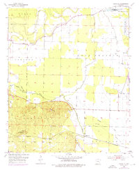
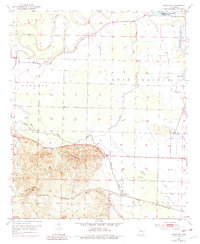
Other maps of this area

1951 · Homan
USGS Topo · 1:24,000

1951 · Fulton
USGS Topo · 1:24,000

1951 · Spring Hill
USGS Topo · 1:24,000

1952 · Mandeville
USGS Topo · 1:24,000

1952 · Garland
USGS Topo · 1:24,000

1952 · Fouke SE
USGS Topo · 1:24,000

1952 · Fouke
USGS Topo · 1:24,000

1952 · Boyd Hill
USGS Topo · 1:24,000

1953 · El Dorado
USGS Topo · 1:250,000

1957 · El Dorado
USGS Topo · 1:250,000