1965 Map of Fountain
USGS Topo · Published 1988About this map
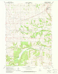
Fountain stands as a primary settlement at the northern edge of this survey, where the Chicago Milwaukee St Paul and Pacific railroad cuts across the agricultural landscape. The southern half of the map is dominated by the winding course of the South Branch Root River and its tributaries, including Watson Creek and Forestville Creek. This area includes large tracts of the Minnesota Memorial Hardwood State Forest, showing the interplay between protected timberlands and active farming.
Find a feature on this map
19 named features on this map. Tap any name to fly to it.
Don’t see what you’re looking for? This feature index may not catch every label — zoom into the map to look around manually.
Map Details
Editions of this 1965 Fountain Map
2 editions found
Other maps of this area

1954 · Chatfield
USGS Topo · 1:62,500

1954 · Mason City
USGS Topo · 1:250,000

1955 · Stewartville
USGS Topo · 1:62,500

1957 · Mason City
USGS Topo · 1:250,000

1958 · Mason City
USGS Topo · 1:250,000

1965 · Greenleafton
USGS Topo · 1:24,000

1965 · Harmony
USGS Topo · 1:24,000

1965 · Wykoff
USGS Topo · 1:24,000

1965 · Fountain
USGS Topo · 1:24,000

1965 · Cherry Grove
USGS Topo · 1:24,000