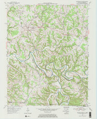
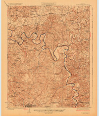
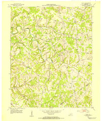
1954 Map of Fountain Run
USGS Topo · Published 1971About this map
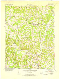
Fountain Run serves as the central hub of this mid-century landscape along the Barren River, which carves a deep, winding path through the borderlands of Kentucky and Tennessee. The area is characterized by a high density of rural institutions, particularly along the ridges and hollows that define the local geography. Significant community landmarks such as Maple Grove Ch, Rough Hill Ch, and New Liberty Ch are mapped alongside educational centers like Old Rocky Hill Sch and Midway Sch.
Find a feature on this map
40 named features on this map. Tap any name to fly to it.
Don’t see what you’re looking for? This feature index may not catch every label — zoom into the map to look around manually.
Map Details
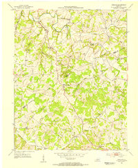
Editions of this 1954 Fountain Run Map
2 editions found
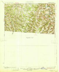
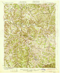
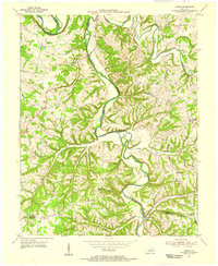
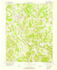
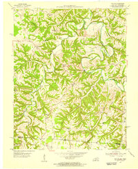
Other maps of this area
1926 · Scottsville
USGS Topo · 1:62,500
1931 · Lafayette
USGS Topo · 1:62,500
1931 · Red Boiling Springs
USGS Topo · 1:62,500
1953 · Tracy
USGS Topo · 1:24,000
1953 · Freedom
USGS Topo · 1:24,000
1954 · Austin
USGS Topo · 1:24,000
1954 · Fountain Run
USGS Topo · 1:24,000
1954 · Gamaliel
USGS Topo · 1:24,000
1954 · Holland
USGS Topo · 1:24,000

1956 · Corbin
USGS Topo · 1:250,000