
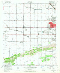
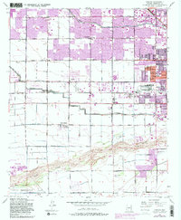
1952 Map of Fowler
USGS Topo · Published 1957About this map
Agricultural development and early suburban expansion define this mid-century western edge of Phoenix. The landscape is dominated by an extensive network of irrigation infrastructure, including the Grand Canal and Roosevelt Canal, which support small farming communities like Fowler and Cartwright. To the north, the Airhaven Airport and an Aluminum Plant signal the post-war industrial growth of the region, while the southern reaches remain dominated by the natural drainage of the Salt River and Gila River.
Find a feature on this map
36 named features on this map. Tap any name to fly to it.
Don’t see what you’re looking for? This feature index may not catch every label — zoom into the map to look around manually.
Map Details
Editions of this 1952 Fowler Map
6 editions found
Other maps of this area

1912 · Phoenix
USGS Topo · 1:62,500

1914 · Phoenix
USGS Topo · 1:62,500

1946 · Avondale
USGS Topo · 1:62,500

1948 · Cashion
USGS Topo · 1:62,500

1952 · Lone Butte
USGS Topo · 1:24,000

1952 · Laveen
USGS Topo · 1:24,000

1952 · Phoenix
USGS Topo · 1:24,000

1952 · Phoenix
USGS Topo · 1:62,500

1954 · Phoenix
USGS Topo · 1:250,000

1957 · Phoenix
USGS Topo · 1:250,000