
1954 Map of Foxboro
USGS Topo · Published 1955About this map
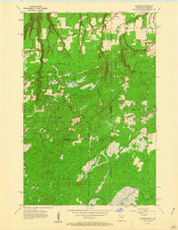
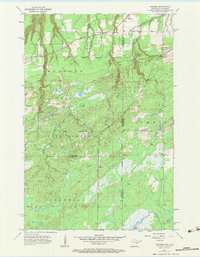
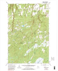
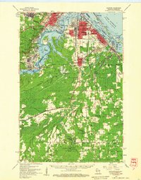
Foxboro sits near the northern boundary of this 1954 landscape, where the Great Northern railway cuts through the transition between Wisconsin and Minnesota. The map documents a heavily forested region defined by the Holyoke State Forest, Nemadji State Forest, and Nickerson State Forest, which cover much of the terrain. The presence of the Sault Ste Marie Minnesota Wisconsin and St Paul Minneapolis line and an Old Railroad Grade indicates the area's historical reliance on rail for transporting timber or minerals.
Find a feature on this map
19 named features on this map. Tap any name to fly to it.
Don’t see what you’re looking for? This feature index may not catch every label — zoom into the map to look around manually.
Map Details
Editions of this 1954 Foxboro Map
4 editions found
Other maps of this area

1915 · Superior
USGS Topo · 1:48,000

1917 · Superior
USGS Topo · 1:62,500

1949 · Holyoke
USGS Topo · 1:48,000

1949 · Patzau
USGS Topo · 1:48,000

1953 · Duluth
USGS Topo · 1:250,000

1954 · Borea
USGS Topo · 1:24,000

1954 · Wrenshall
USGS Topo · 1:24,000

1954 · Frogner
USGS Topo · 1:24,000
1954 · Patzau
USGS Topo · 1:24,000
1954 · Superior
USGS Topo · 1:62,500