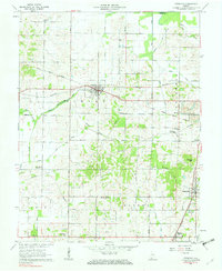
1961 Map of Francisco
USGS Topo · Published 1963About this map
The historic Erie and Wabash Canal and the Old Indian Treaty Boundary slash across this Gibson County landscape, marking two distinct eras of frontier infrastructure and land division. Centered on the town of Francisco, the map reveals a mid-century rural economy tied to the rails of the Southern Railroad and the Central New York Railroad. The settlement pattern is defined by traditional community hubs, including Somerville, Mackey, and Oak Hill.
Find a feature on this map
43 named features on this map. Tap any name to fly to it.
Don’t see what you’re looking for? This feature index may not catch every label — zoom into the map to look around manually.
Map Details
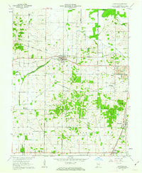
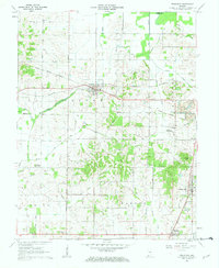
Editions of this 1961 Francisco Map
3 editions found
Other maps of this area

1901 · Princeton
USGS Topo · 1:62,500

1901 · Haubstadt
USGS Topo · 1:62,500

1902 · Ditney
USGS Topo · 1:125,000

1902 · Boonville
USGS Topo · 1:62,500

1903 · Haubstadt
USGS Topo · 1:62,500

1903 · Petersburg
USGS Topo · 1:62,500

1903 · Princeton
USGS Topo · 1:62,500

1903 · Patoka
USGS Topo · 1:125,000

1956 · Vincennes
USGS Topo · 1:250,000

1957 · Vincennes
USGS Topo · 1:250,000