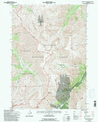
1991 Map of Francs Peak
USGS Topo · Published 1995About this map
Kirwin stands as a focal point of high-altitude mining history within the Shoshone National Forest. This 1991 revision detail's a landscape defined by the extraction of silver and copper, evidenced by a dense network of shafts and tunnels concentrated around the Galena Basin and Brown Basin. Significant sites including the Gold Reef Tunnel, Iowa Mine, and Mendota Mine are clustered near the headwaters of the Greybull River. The terrain is strictly regulated, with the Washakie Wilderness boundary cutting across the steep slopes of Francs Peak and Jojo Mountain. This document serves as a critical record of the region's late 20th-century state, showing the relationship between industrial mining footprints and the preserved wilderness, specifically where the Wind River RD terminates at the base of Greybull Pass.
Find a feature on this map
43 named features on this map. Tap any name to fly to it.
Don’t see what you’re looking for? This feature index may not catch every label — zoom into the map to look around manually.
Map Details
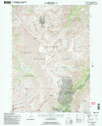
Editions of this 1991 Francs Peak Map
2 editions found
Other maps of this area

1904 · Kirwin
USGS Topo · 1:125,000

1906 · Kirwin
USGS Topo · 1:125,000

1955 · Cody
USGS Topo · 1:250,000

1955 · Thermopolis
USGS Topo · 1:250,000

1957 · Irish Rock
USGS Topo · 1:62,500

1957 · Sunshine Reservoir
USGS Topo · 1:62,500

1958 · Cody
USGS Topo · 1:250,000

1958 · Thermopolis
USGS Topo · 1:250,000

1962 · Thermopolis
USGS Topo · 1:250,000

1962 · Cody
USGS Topo · 1:250,000