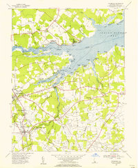
1955 Map of Frankford
USGS Topo · Published 1956About this map
Indian River Bay and the complex tidal estuaries of southern Delaware define this 1955 survey. The landscape is characterized by prominent necks of land extending into the water, such as Long Neck and Piney Neck, where small landings like Irons Lane Landing and Holts Landing once served local maritime needs. The inland terrain is a network of small agricultural settlements and crossroads including Dagsboro, Frankford, and Omar.
Find a feature on this map
101 named features on this map. Tap any name to fly to it.
Don’t see what you’re looking for? This feature index may not catch every label — zoom into the map to look around manually.
Map Details
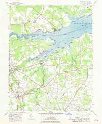
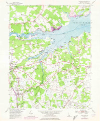
Editions of this 1955 Frankford Map
3 editions found
Other maps of this area

1901 · Ocean City
USGS Topo · 1:62,500

1902 · Pittsville
USGS Topo · 1:62,500

1917 · Millsboro
USGS Topo · 1:62,500

1918 · Rehoboth
USGS Topo · 1:62,500

1938 · Millsboro
USGS Topo · 1:62,500

1938 · Rehoboth
USGS Topo · 1:62,500

1942 · Ocean City
USGS Topo · 1:62,500

1942 · Whaleysville
USGS Topo · 1:24,000

1943 · Selbyville
USGS Topo · 1:31,680
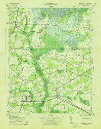
1943 · Whaleysville
USGS Topo · 1:31,680