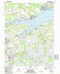
1984 Map of Frankford
USGS Topo · Published 1984About this map
Indian River Bay and its intricate network of coves and necks dominate this coastal Sussex County landscape. Along the southern shore, the Nanticoke Indian Center stands near Harmon, marking a significant cultural anchor in the region. The interior is defined by a series of peninsulas like Long Neck and Pine Neck, separated by tidal waters such as Pepper Creek and Champlin Creek.
Find a feature on this map
98 named features on this map. Tap any name to fly to it.
Don’t see what you’re looking for? This feature index may not catch every label — zoom into the map to look around manually.
Map Details
Editions of this 1984 Frankford Map
2 editions found
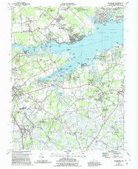
Other maps of this area

1901 · Ocean City
USGS Topo · 1:62,500

1902 · Pittsville
USGS Topo · 1:62,500

1917 · Millsboro
USGS Topo · 1:62,500

1918 · Rehoboth
USGS Topo · 1:62,500

1938 · Millsboro
USGS Topo · 1:62,500

1938 · Rehoboth
USGS Topo · 1:62,500

1942 · Ocean City
USGS Topo · 1:62,500

1942 · Whaleysville
USGS Topo · 1:24,000

1943 · Selbyville
USGS Topo · 1:31,680
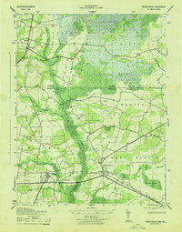
1943 · Whaleysville
USGS Topo · 1:31,680