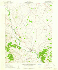
1961 Map of Frankfort
USGS Topo · Published 1962About this map
The village of Frankfort serves as the focal point of this Ross County landscape, situated along the North Fork Paint Creek at the junction of several historic turnpikes. The area reflects a classic Virginia Military District settlement pattern, with the Baltimore and Ohio railroad corridor linking the rural outposts of Austin and Roxabell. A significant archaeological site, the Indian Mound, stands near the village center, while numerous family and community burial grounds like Ware Cem and Greenlawn Cem dot the surrounding townships of Deerfield and Concord.
Find a feature on this map
54 named features on this map. Tap any name to fly to it.
Don’t see what you’re looking for? This feature index may not catch every label — zoom into the map to look around manually.
Map Details
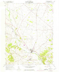
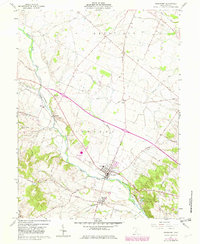
Editions of this 1961 Frankfort Map
3 editions found
Other maps of this area

1906 · Mt Sterling
USGS Topo · 1:62,500

1911 · Era
USGS Topo · 1:62,500

1912 · Roxabell
USGS Topo · 1:62,500

1913 · Era
USGS Topo · 1:62,500

1914 · Roxabell
USGS Topo · 1:62,500

1917 · Greenfield
USGS Topo · 1:62,500

1943 · Era
USGS Topo · 1:62,500

1944 · Greenfield
USGS Topo · 1:62,500

1944 · Roxabell
USGS Topo · 1:62,500

1947 · Columbus
USGS Topo · 1:250,000