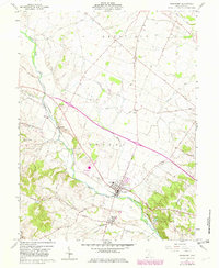
1961 Map of Frankfort
USGS Topo · Published 1982About this map
Frankfort occupies a prominent position in this Ohio valley, situated at the confluence of North Fork Paint Creek and Oldtown Run. The landscape is a mix of agricultural bottomlands and rising hills, marked by the presence of a historical Indian Mound just south of the village. The village layout is concentrated along the Baltimore and Ohio railroad line, which also serves the smaller community of Roxabell to the south.
Find a feature on this map
54 named features on this map. Tap any name to fly to it.
Don’t see what you’re looking for? This feature index may not catch every label — zoom into the map to look around manually.
Map Details
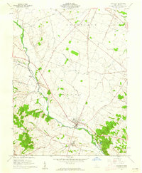
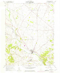
Editions of this 1961 Frankfort Map
3 editions found
Other maps of this area

1906 · Mt Sterling
USGS Topo · 1:62,500

1911 · Era
USGS Topo · 1:62,500

1912 · Roxabell
USGS Topo · 1:62,500

1913 · Era
USGS Topo · 1:62,500

1914 · Roxabell
USGS Topo · 1:62,500

1917 · Greenfield
USGS Topo · 1:62,500

1943 · Era
USGS Topo · 1:62,500

1944 · Greenfield
USGS Topo · 1:62,500

1944 · Roxabell
USGS Topo · 1:62,500

1947 · Columbus
USGS Topo · 1:250,000