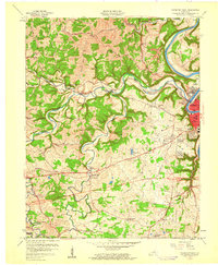
1959 Map of Frankfort West
USGS Topo · Published 1960About this map
The Kentucky River loops through the eastern edge of this landscape, defining the character of Frankfort and its suburbs as they stood in the late 1950s. The seat of state government is clearly marked by the State Capitol and Capitol Heights, while the surrounding hills accommodate postwar residential growth in Thistleton Heights and Cavelawn. This era of development is captured in the presence of the Capitol City Airport and a Drive-in Theater along the highway, illustrating the mid-century shift toward automotive-focused infrastructure.
Find a feature on this map
60 named features on this map. Tap any name to fly to it.
Don’t see what you’re looking for? This feature index may not catch every label — zoom into the map to look around manually.
Map Details
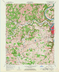
Editions of this 1959 Frankfort West Map
2 editions found
Other maps of this area

1906 · Lockport
USGS Topo · 1:48,000

1908 · Lockport
USGS Topo · 1:62,500

1922 · Frankfort
USGS Topo · 1:48,000

1923 · Waddy
USGS Topo · 1:48,000

1924 · Frankfort
USGS Topo · 1:62,500

1925 · Mount Eden
USGS Topo · 1:48,000

1927 · Mount Eden
USGS Topo · 1:62,500

1928 · New Castle
USGS Topo · 1:48,000

1932 · New Castle
USGS Topo · 1:62,500

1951 · Lawrenceburg
USGS Topo · 1:24,000