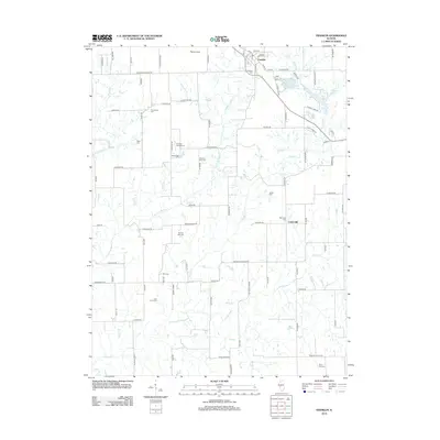
2012 Map of Franklin
USGS Topo · Published 2012About this map
The village of Franklin serves as the primary hub in this portion of Morgan County, where a grid of rural roads connects established family farmsteads and numerous small burial grounds. The landscape is defined by the dendritic drainage patterns of Apple Creek and its many tributaries, such as Left Fork Apple Creek and Panther Creek. For genealogists, the map is remarkably dense with family-named cemeteries, including the Criswell George Cemetery, Seymour Bird Cemetery, and Fanning Ollie Cemetery. To the east, the Franklin Waverly Outing Club Lake and Waverly Lake provide localized water features amidst the agricultural expanse. The small settlement of Centerville appears in the eastern section, marking a historic crossroads near New Hope Cemetery.
Find a feature on this map
104 named features on this map. Tap any name to fly to it.
Don’t see what you’re looking for? This feature index may not catch every label — zoom into the map to look around manually.
Map Details
Editions of this 2012 Franklin Map
This is the sole edition of this map. No revisions or reprints were ever made.
Other maps of this area

1923 · Carlinville
USGS Topo · 1:48,000

1924 · Waverly
USGS Topo · 1:62,500

1925 · Carlinville
USGS Topo · 1:62,500

1926 · Waverly
USGS Topo · 1:62,500

1931 · Carlinville
USGS Topo · 1:62,500

1932 · Greenfield
USGS Topo · 1:62,500

1932 · Jacksonville
USGS Topo · 1:62,500

1937 · Jacksonville
USGS Topo · 1:62,500

1948 · Quincy
USGS Topo · 1:250,000

1956 · Quincy
USGS Topo · 1:250,000