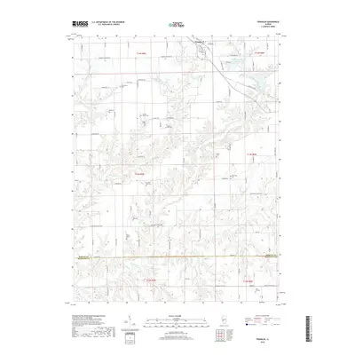
2018 Map of Franklin
USGS Topo · Published 2018About this map
Franklin serves as the primary hub in this corner of Morgan County, where the grid of rural roads meets the meandering drainage of Apple Creek and its many tributaries. The landscape is marked by a high density of small family and community burial grounds, including Harts Prairie Cem, Sims Old Cem, and the Fanning Ollie Cem, suggesting a long history of local settlement across these prairies. To the east, managed water bodies like Waverly City Lake and Franklin Waverly Outing Club Lake introduce recreational and utility infrastructure into the agrarian surroundings. The transition from the flat uplands near Woodson Franklin Rd to the intricate creek valleys of Woods Cr and Panther Cr defines the local topography. This detailed survey preserves the names of early family landmarks and the precise road network as it existed in the late 2010s.
Find a feature on this map
94 named features on this map. Tap any name to fly to it.
Don’t see what you’re looking for? This feature index may not catch every label — zoom into the map to look around manually.
Map Details
Editions of this 2018 Franklin Map
This is the sole edition of this map. No revisions or reprints were ever made.
Other maps of this area

1923 · Carlinville
USGS Topo · 1:48,000

1924 · Waverly
USGS Topo · 1:62,500

1925 · Carlinville
USGS Topo · 1:62,500

1926 · Waverly
USGS Topo · 1:62,500

1931 · Carlinville
USGS Topo · 1:62,500

1932 · Greenfield
USGS Topo · 1:62,500

1932 · Jacksonville
USGS Topo · 1:62,500

1937 · Jacksonville
USGS Topo · 1:62,500

1948 · Quincy
USGS Topo · 1:250,000

1956 · Quincy
USGS Topo · 1:250,000