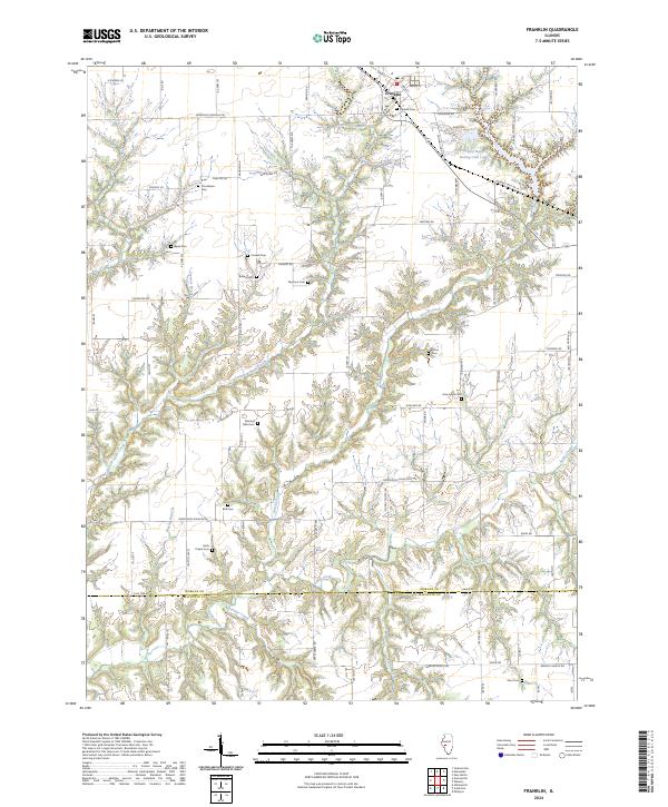
2024 Map of Franklin
USGS Topo · Published 2024About this map
The village of Franklin serves as the northern anchor for this agricultural landscape, situated where the central Illinois plains begin to break into the complex drainage systems of the lower Illinois River basin. Numerous family and community burial grounds, such as Harts Prairie Cem, Criswell Cem, and the Fanning Ollie Cem, are scattered across the township, providing a clear record of early settlement patterns and local lineage.
Find a feature on this map
90 named features on this map. Tap any name to fly to it.
Don’t see what you’re looking for? This feature index may not catch every label — zoom into the map to look around manually.
Map Details
Editions of this 2024 Franklin Map
This is the sole edition of this map. No revisions or reprints were ever made.
Other maps of this area

1923 · Carlinville
USGS Topo · 1:48,000

1924 · Waverly
USGS Topo · 1:62,500

1925 · Carlinville
USGS Topo · 1:62,500

1926 · Waverly
USGS Topo · 1:62,500

1931 · Carlinville
USGS Topo · 1:62,500

1932 · Greenfield
USGS Topo · 1:62,500

1932 · Jacksonville
USGS Topo · 1:62,500

1937 · Jacksonville
USGS Topo · 1:62,500

1948 · Quincy
USGS Topo · 1:250,000

1956 · Quincy
USGS Topo · 1:250,000