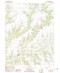
1983 Map of Franklin
USGS Topo · Published 1983About this map
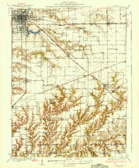
Franklin serves as the primary hub in this agricultural landscape on the border of Morgan and Macoupin counties. The Burlington Northern railroad corridor cuts through the northern section, linking the town to the broader regional economy, while Waverly Lake provides a significant water feature to the east. The terrain is defined by the branching network of Apple Creek and its many tributaries like Woods Creek and Seymour Branch, which have carved deep drainage patterns through the farmland.
Find a feature on this map
37 named features on this map. Tap any name to fly to it.
Don’t see what you’re looking for? This feature index may not catch every label — zoom into the map to look around manually.
Map Details
Editions of this 1983 Franklin Map
This is the sole edition of this map. No revisions or reprints were ever made.
Other maps of this area

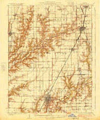
1923 · Carlinville
USGS Topo · 1:48,000

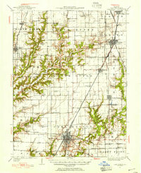
1924 · Waverly
USGS Topo · 1:62,500
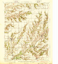
1925 · Carlinville
USGS Topo · 1:62,500

1926 · Waverly
USGS Topo · 1:62,500
1931 · Carlinville
USGS Topo · 1:62,500
1932 · Greenfield
USGS Topo · 1:62,500

1932 · Jacksonville
USGS Topo · 1:62,500
1937 · Jacksonville
USGS Topo · 1:62,500

1948 · Quincy
USGS Topo · 1:250,000

1956 · Quincy
USGS Topo · 1:250,000