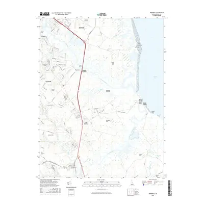
2016 Map of Frederica
USGS Topo · Published 2016About this map
The Saint Jones River and Murderkill River wind through the tidal marshes of the Delmarva Peninsula in this 2016 record of coastal Kent County. The town of Frederica occupies the southern reach of the map, while the edge of Dover and the expansive Dover Air Force Base define the northern boundary. The landscape is a complex network of agricultural land and wetlands, punctuated by ditches like Beaver Gut Ditch and Trunk Ditch that manage the low-lying terrain near the Delaware Bay.
Find a feature on this map
117 named features on this map. Tap any name to fly to it.
Don’t see what you’re looking for? This feature index may not catch every label — zoom into the map to look around manually.
Map Details
Editions of this 2016 Frederica Map
This is the sole edition of this map. No revisions or reprints were ever made.
Other maps of this area

1899 · Vineland
USGS Topo · 1:125,000

1899 · Dover
USGS Topo · 1:125,000

1906 · Dover
USGS Topo · 1:125,000

1918 · Cedar Creek
USGS Topo · 1:62,500

1918 · Harrington
USGS Topo · 1:62,500

1919 · Cedar Creek
USGS Topo · 1:62,500

1919 · Vineland
USGS Topo · 1:125,000

1920 · Dover
USGS Topo · 1:125,000

1926 · Wyoming
USGS Topo · 1:48,000

1930 · Wyoming
USGS Topo · 1:62,500