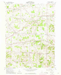
1961 Map of Fredonia
USGS Topo · Published 1975About this map
Small rural crossroads and family-named corners define the landscape of northwestern Licking County during the mid-20th century. The settlement of Fredonia serves as a local hub in the southeast, while the surrounding townships of Bennington, Burlington, and Liberty are dotted with historic gathering places like Bennington Chapel and Liberty Ch. The terrain is deeply influenced by the drainage of the Licking River, with several branches including the Otter Fork and Clear Fork Licking River carving through the agricultural land.
Find a feature on this map
37 named features on this map. Tap any name to fly to it.
Don’t see what you’re looking for? This feature index may not catch every label — zoom into the map to look around manually.
Map Details
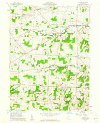
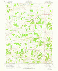
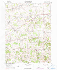
Editions of this 1961 Fredonia Map
4 editions found
Other maps of this area

1908 · Granville
USGS Topo · 1:62,500

1909 · Newark
USGS Topo · 1:62,500

1910 · Granville
USGS Topo · 1:62,500

1912 · Gambier
USGS Topo · 1:62,500

1914 · Gambier
USGS Topo · 1:62,500

1915 · Fredericktown
USGS Topo · 1:62,500

1943 · Gambier
USGS Topo · 1:62,500

1943 · Fredericktown
USGS Topo · 1:62,500

1950 · Marion
USGS Topo · 1:250,000

1961 · Newark
USGS Topo · 1:24,000