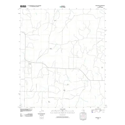
2010 Map of Fredonia
USGS Topo · Published 2010About this map
Fredonia serves as the primary hub in this Texas Hill Country landscape, where a network of county roads like Deer Creek Cemetery Rd and Wagram Rd connect isolated homesteads and ranches. The terrain is defined by distinct elevations such as Round Mountain and Hairy Knob, which overlook a complex drainage system including Deer Creek and the North Fork San Fernando Creek. Family and community history is anchored by the Deer Creek Cemetery and Water Valley Cemetery, providing significant points of interest for genealogists tracking early settlers in the region. The presence of Spillar Mine Rd in the southwest suggests a history of local resource extraction, while the winding course of Black Branch and Pontotoc Creek illustrates the natural hydrology that shaped local land use and property boundaries.
Find a feature on this map
34 named features on this map. Tap any name to fly to it.
Don’t see what you’re looking for? This feature index may not catch every label — zoom into the map to look around manually.
Map Details
Editions of this 2010 Fredonia Map
This is the sole edition of this map. No revisions or reprints were ever made.
Other maps of this area

1885 · San Saba
USGS Topo · 1:125,000

1887 · Llano
USGS Topo · 1:125,000

1887 · Mason
USGS Topo · 1:125,000

1894 · Brady
USGS Topo · 1:125,000

1894 · Mason
USGS Topo · 1:125,000

1894 · San Saba
USGS Topo · 1:125,000

1894 · Llano
USGS Topo · 1:125,000

1904 · Llano
USGS Topo · 1:125,000

1909 · Llano
USGS Topo · 1:125,000

1918 · Llano
USGS Topo · 1:125,000