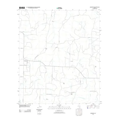
2012 Map of Fredonia
USGS Topo · Published 2012About this map
Fredonia serves as the central hub of this Central Texas landscape, where several rural thoroughfares like Ranch Road 1222 and Old Katemcy Rd converge. The terrain is defined by a network of seasonal drainages, including Lost Cr and Deer Cr, which carve through a landscape marked by prominent elevations such as Round Mtn and Hairy Knob. Local history is anchored by the Deer Creek Cem and Water Valley Cem, providing essential markers for genealogical research in this sparsely settled region. To the east, the Eagle Rock Ranch Airport and the distinctively named Hickory Hollow reflect contemporary land use. Significant local routes like Spillar Mine Rd and Fly Gap Rd suggest historical mining and cattle paths that once tied these isolated ranches to the wider county.
Find a feature on this map
39 named features on this map. Tap any name to fly to it.
Don’t see what you’re looking for? This feature index may not catch every label — zoom into the map to look around manually.
Map Details
Editions of this 2012 Fredonia Map
This is the sole edition of this map. No revisions or reprints were ever made.
Other maps of this area

1885 · San Saba
USGS Topo · 1:125,000

1887 · Llano
USGS Topo · 1:125,000

1887 · Mason
USGS Topo · 1:125,000

1894 · Brady
USGS Topo · 1:125,000

1894 · Mason
USGS Topo · 1:125,000

1894 · San Saba
USGS Topo · 1:125,000

1894 · Llano
USGS Topo · 1:125,000

1904 · Llano
USGS Topo · 1:125,000

1909 · Llano
USGS Topo · 1:125,000

1918 · Llano
USGS Topo · 1:125,000