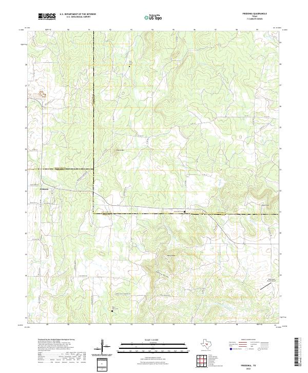
2022 Map of Fredonia
USGS Topo · Published 2022About this map
The settlement of Fredonia anchors this Hill Country landscape where McCulloch, Mason, and San Saba counties meet. The terrain is defined by distinct limestone and granite uplift features such as Round Mtn and Hairy Knob, with seasonal drainage through Hickory Hollow and into the N Fork San Fernando Cr. Historically, this area supported ranching and small-scale agriculture, evidenced by several family and community burial grounds, including the Union Band Cem and Water Valley Cem.
Find a feature on this map
50 named features on this map. Tap any name to fly to it.
Don’t see what you’re looking for? This feature index may not catch every label — zoom into the map to look around manually.
Map Details
Editions of this 2022 Fredonia Map
This is the sole edition of this map. No revisions or reprints were ever made.
Other maps of this area

1885 · San Saba
USGS Topo · 1:125,000

1887 · Llano
USGS Topo · 1:125,000

1887 · Mason
USGS Topo · 1:125,000

1894 · Brady
USGS Topo · 1:125,000

1894 · Mason
USGS Topo · 1:125,000

1894 · San Saba
USGS Topo · 1:125,000

1894 · Llano
USGS Topo · 1:125,000

1904 · Llano
USGS Topo · 1:125,000

1909 · Llano
USGS Topo · 1:125,000

1918 · Llano
USGS Topo · 1:125,000